


Summer meets the northern border - breaking into the green field of 20 ° C
Summer in Northern Xinjiang: God's Love Letter to the World
N Romances in Northern Xinjiang in Summer
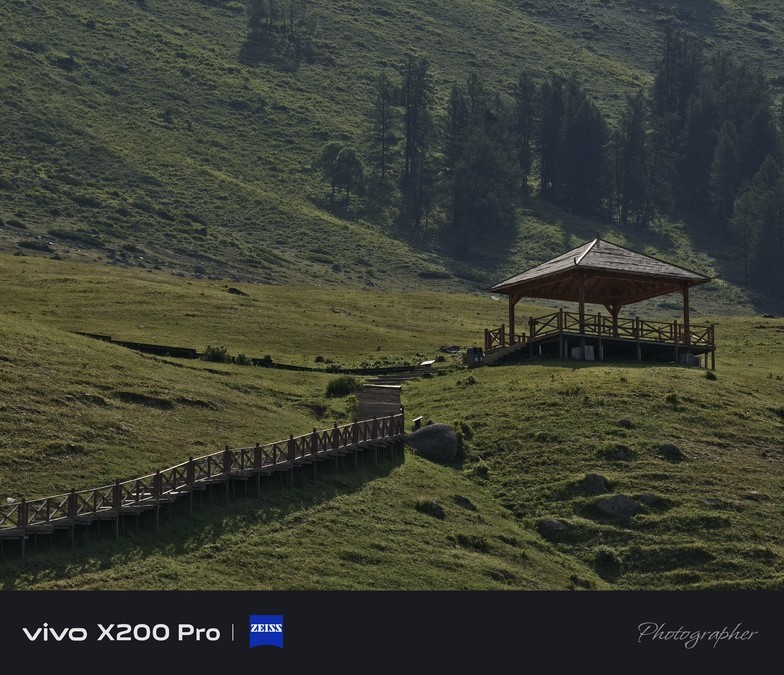
✅ chasing light and shadow - The morning fog in Hemu Village wraps the wooden house, and the early morning is like a fairyland on earth; the sunset at 9 o'clock in the evening dyes Bayinbrook honey, and even time becomes soft.
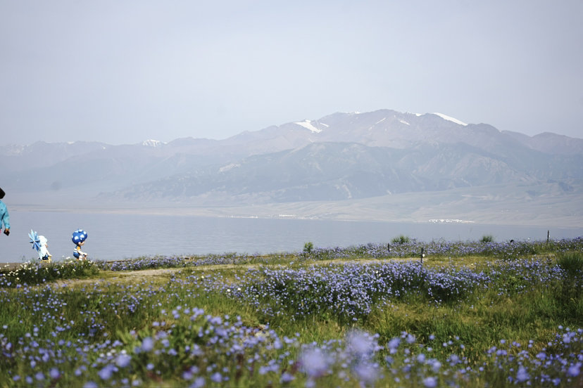
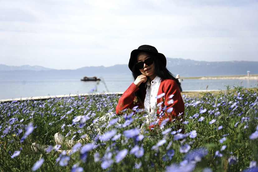
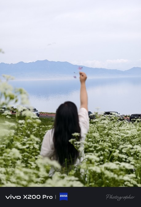
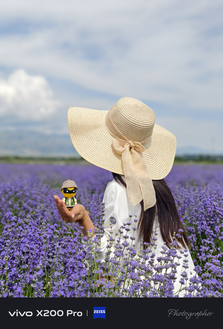
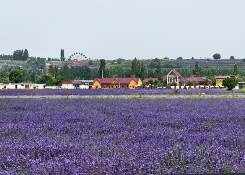
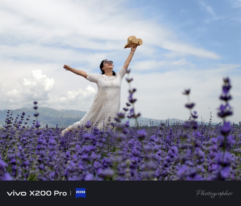
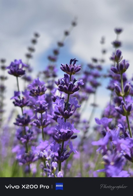
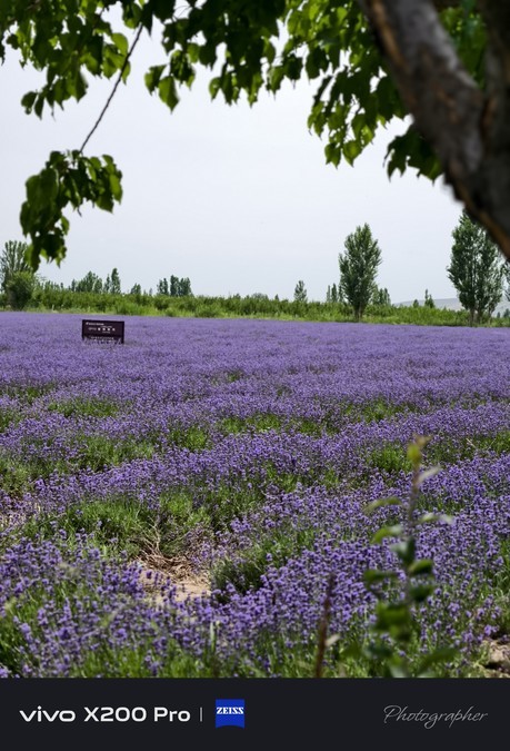
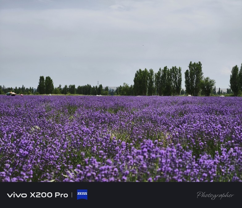
✅ lie in the sea of flowers - Huocheng lavender field is filled with purple mist, and it is surrounded by romance as soon as you step in; Zhaosu million acres of rape flowers are gilded and shining brightly in the sun.
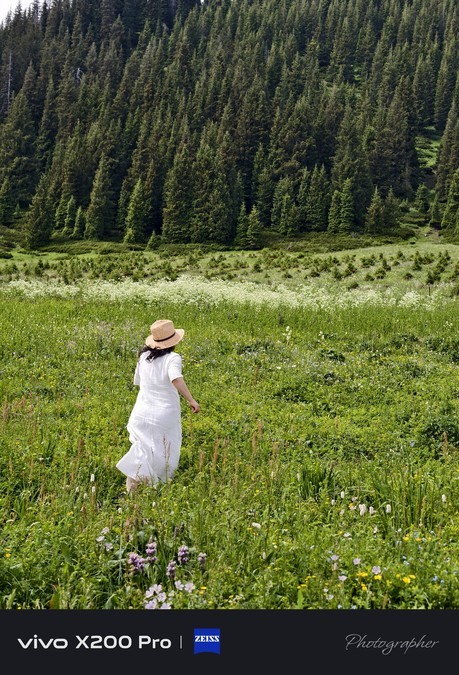
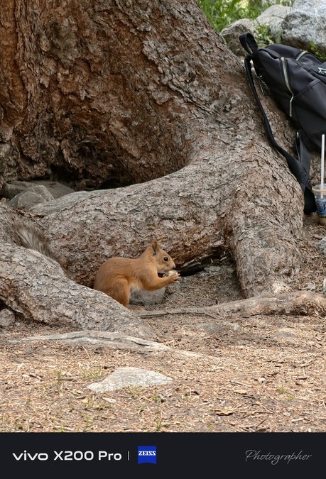
✅ Wild fun experience - light hiking on the Shanta Ancient Road, through forests and meadows, encountering clever little squirrels, the moment when the eyes meet, full of unexpected surprises.
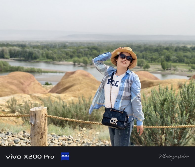
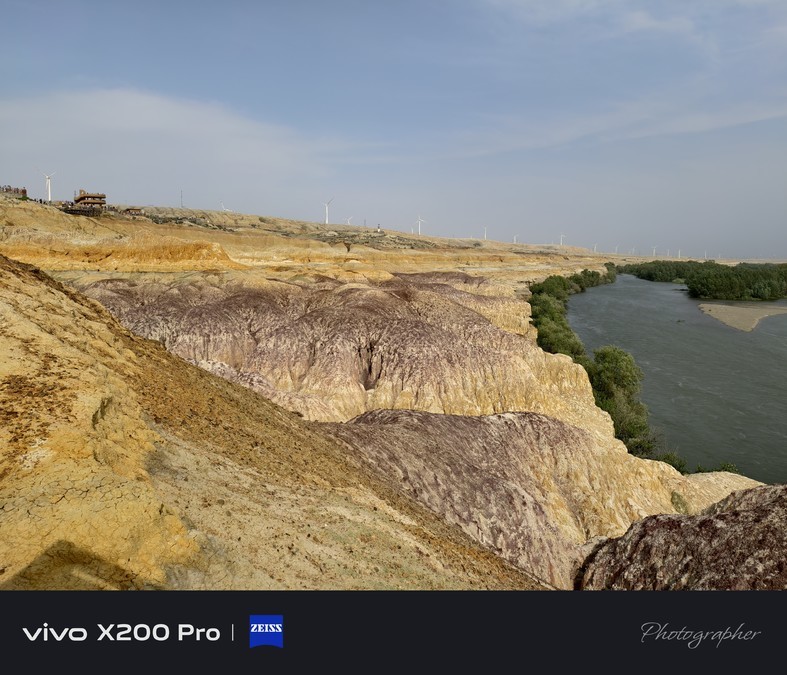
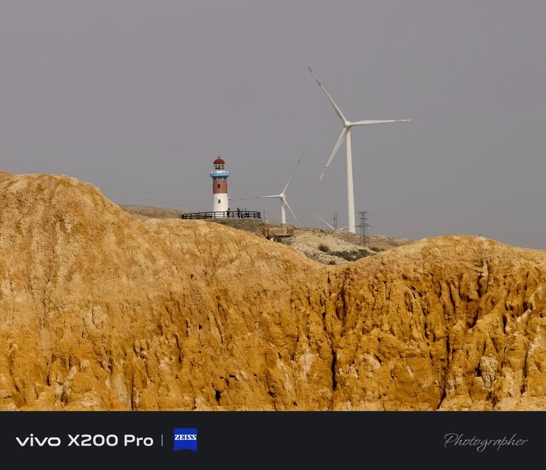
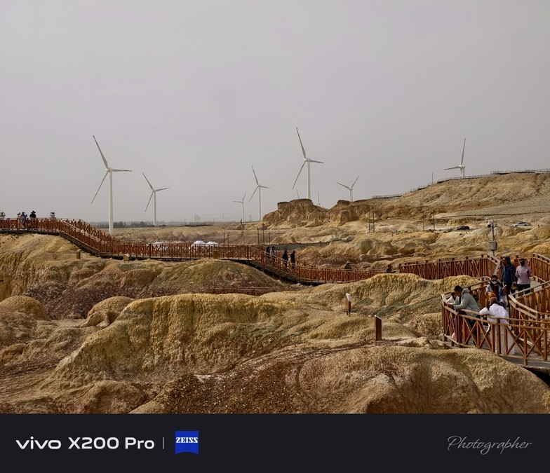
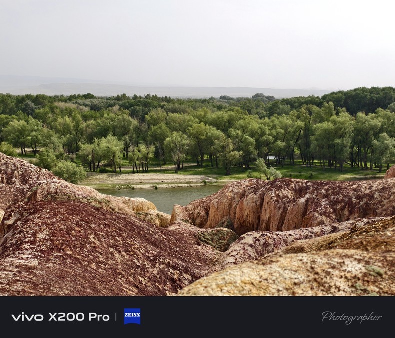
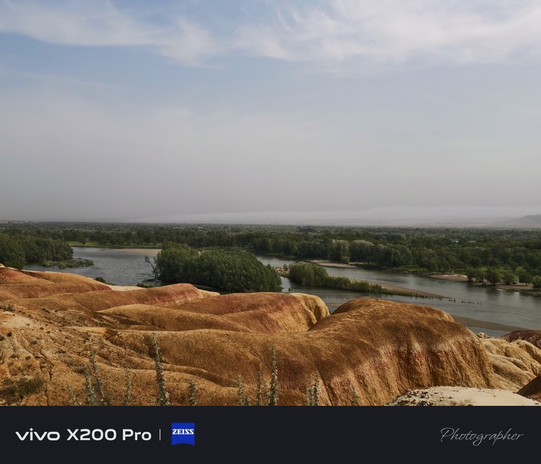
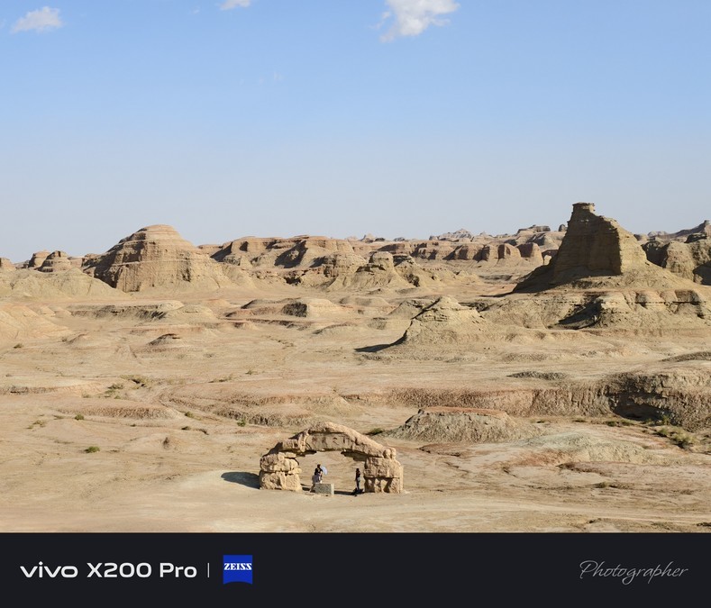
clock in Attractions: Wucai Beach, also known as Wucai River Bank, is located in Yegezitobie Township, about 24 kilometers northwest of Burqin County, Xinjiang Uygur Autonomous Region, with an altitude of 480 meters and a distribution area of about 3 square kilometers. It can be described as a masterpiece of nature. The most unique thing here is "two kinds of scenery on both sides of the river": on the south bank is a green oasis, a long desert and a clear blue sky. On the north bank is a colorful strange rock, composed of red, earth red, light yellow, light green and other colors of sandstone, mudstone and conglomerate, such as colorful ancient castles, strange beasts, and peak clusters, which are lifelike. As a cliff-like Yardang landform, the colorful beach has undulating mountains and changes in color. It is formed by the combination of rapid river erosion cutting and long-term erosion by strong winds. Due to the different weathering resistance between riparian rock layers, it has created a jagged and unique profile. Especially at sunset, the sun shines on the rocks, with red as the main tone, interspersed with green, purple, yellow, white, black and other transitional colors, which are dazzling, charming and charming. Therefore, it is known as "Colorful Beach" and "Xinjiang's Most Beautiful Yadan Landscape". It is a visual feast not to be missed during a trip to northern Xinjiang!


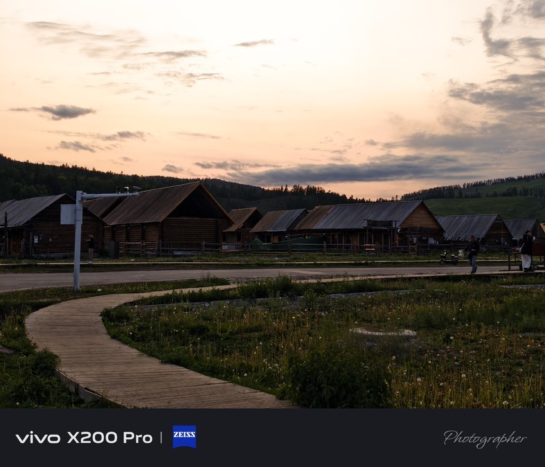
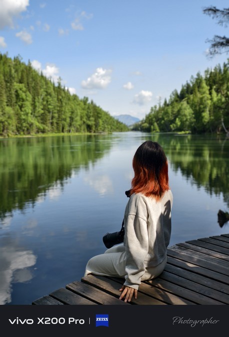
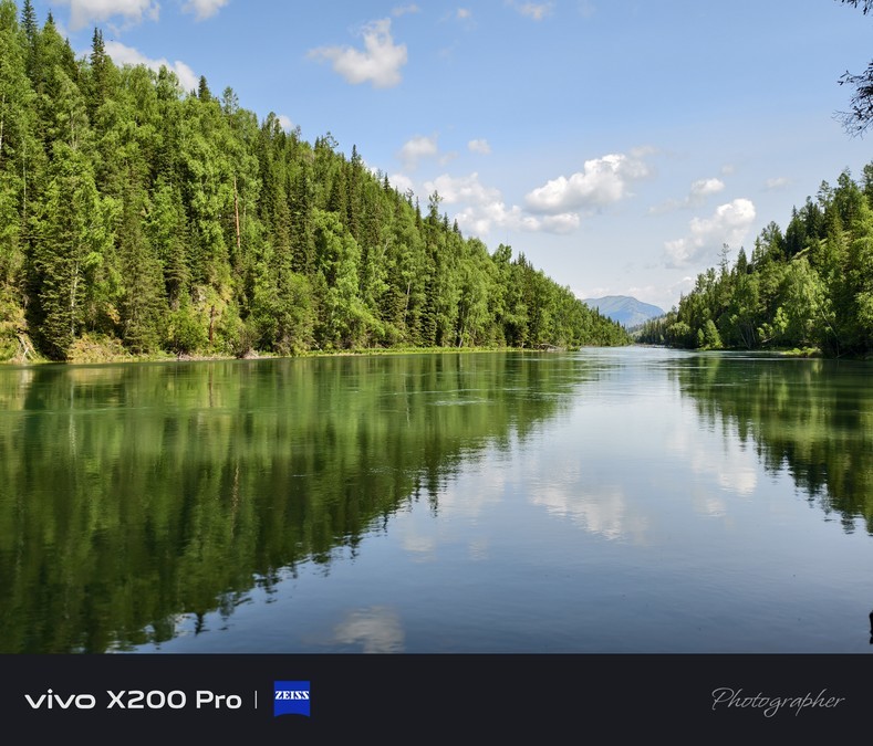
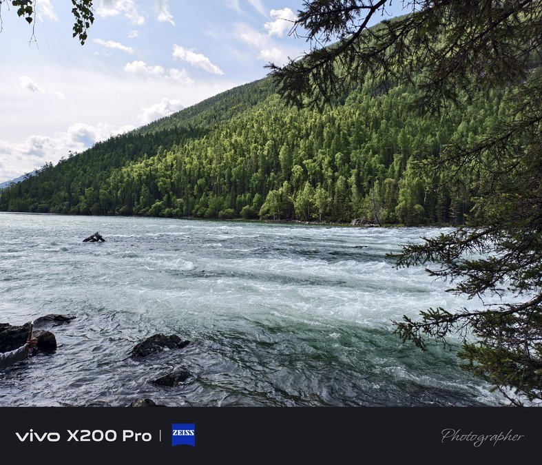
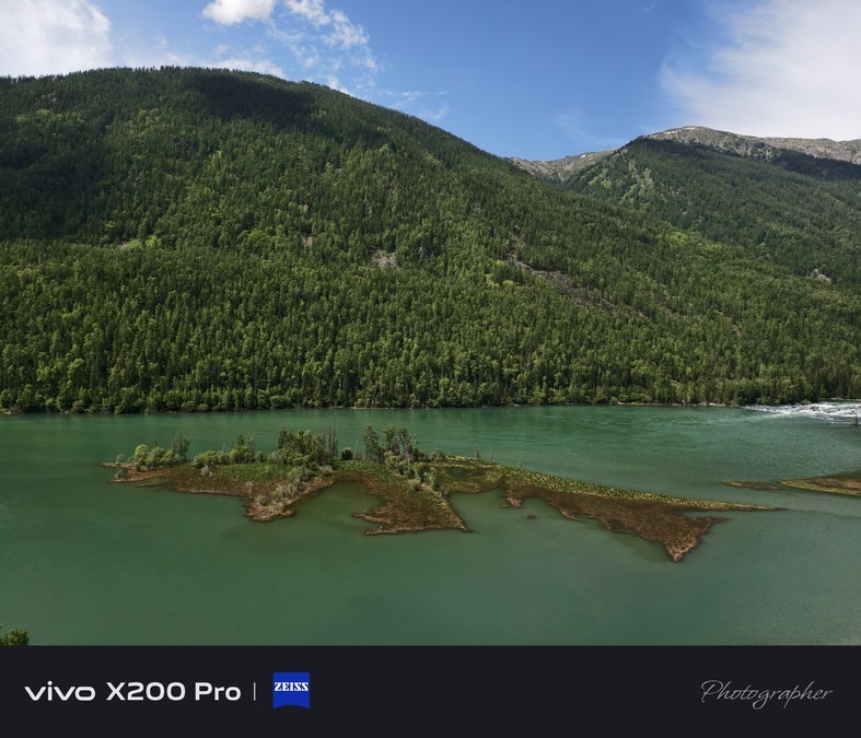
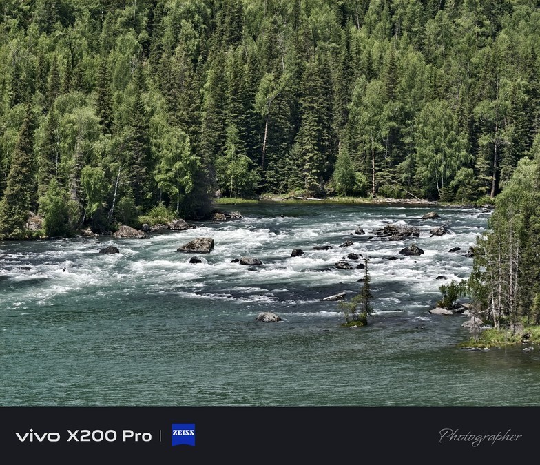
Kanas: a mysterious pure land hidden in the Altai Mountains (with a wooden house accommodation experience)
Kanas Scenic Area is located in the middle of the Altai Mountains in Xinjiang Uygur Autonomous Region, located in the border area between China and Kazakhstan, Russia and Mongolia, which can be described as a "secret border of four countries".
"Kanas" is derived from Mongolian and means "lake in a beautiful and rich, mysterious canyon" - the name alone is enough to evoke people's infinite reverie about this land.
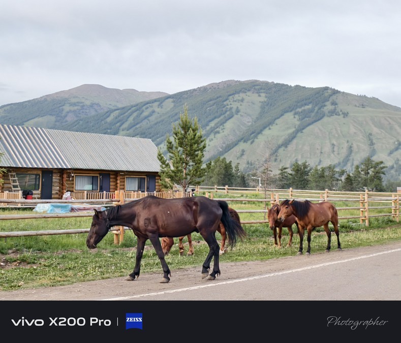
On the banks of Kanas Lake, there is also an ancient ethnic group in our country - the Tuva people. For nearly 400 years, they have lived as nomads and hunters, and settled here. They have retained their brave and strong national character. They are not only good at riding, skiing, but also good at singing and dancing. They still basically maintain a relatively primitive way of life.
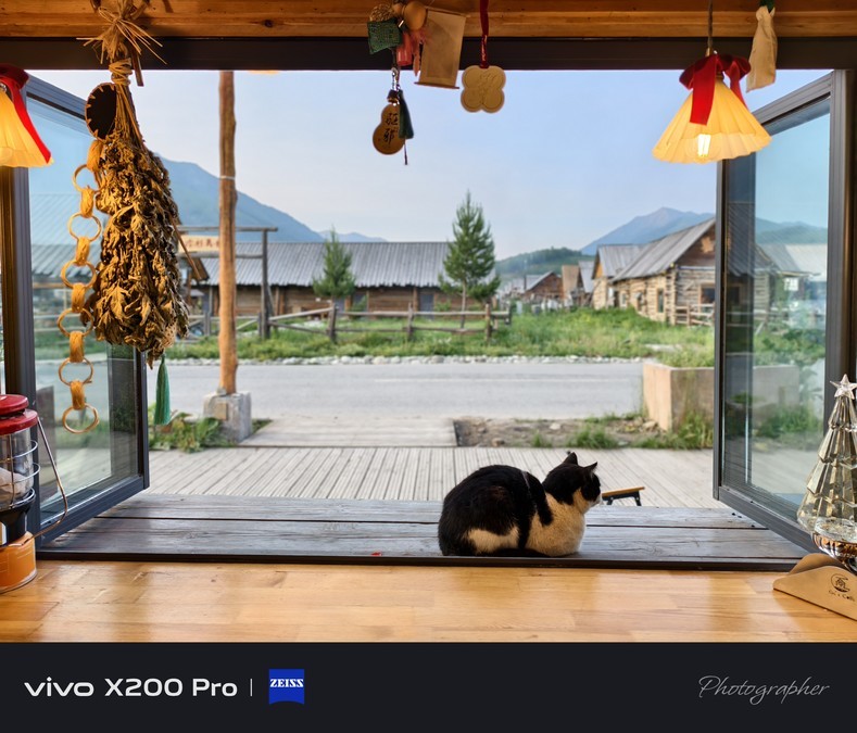
Entering the Tuva village, the log-built wooden houses are scattered among them, the water is gurgling under the small bridge, the smoke is curling in the early morning and dusk, and the air is filled with the faint aroma of milk wine. This quaint and quiet village scenery, like Kanas Lake, is filled with mysterious and charming colors.
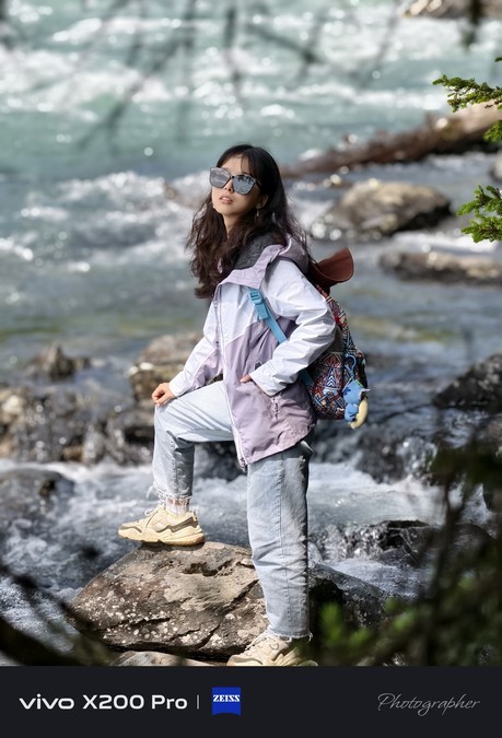
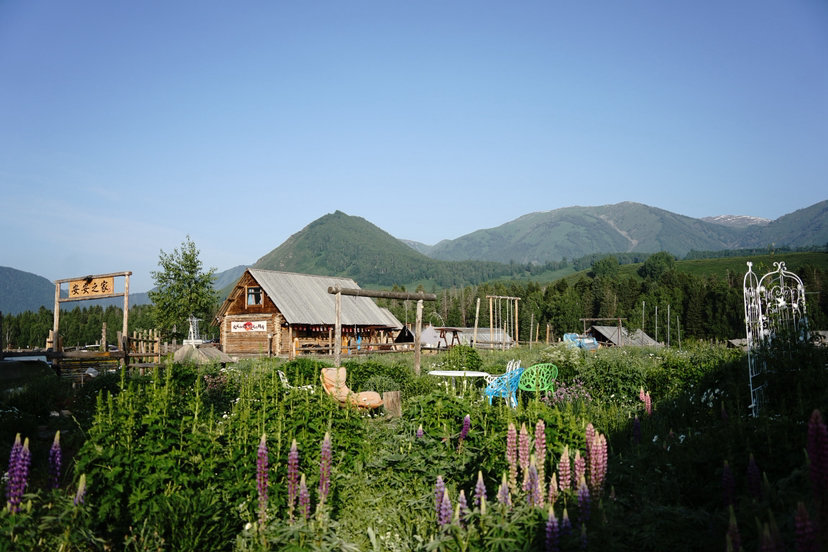
The key point is here! This trip to the northern border, we also experienced the Tuva-style wooden house accommodation~ Nestled in the warm wooden house, listening to the wind outside the window and the sound of horses in the distance, as if instantly integrated into the rhythm of this land, the experience is directly full!


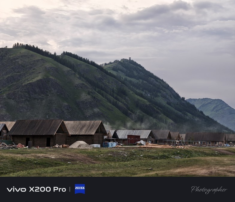

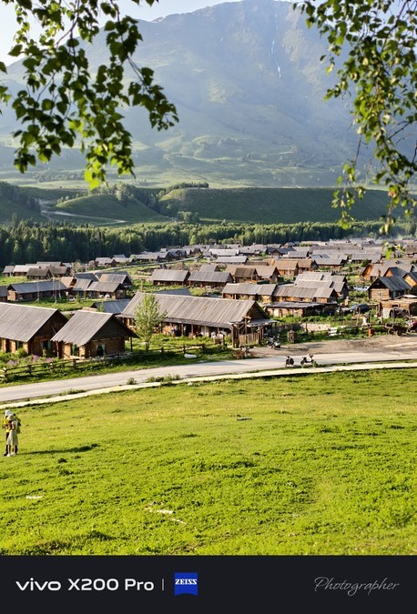
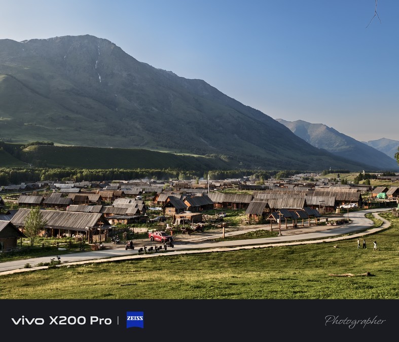
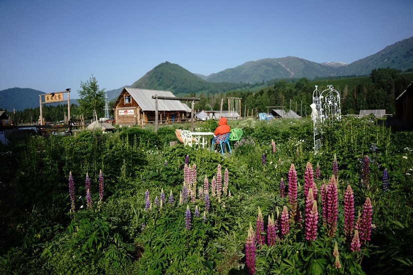
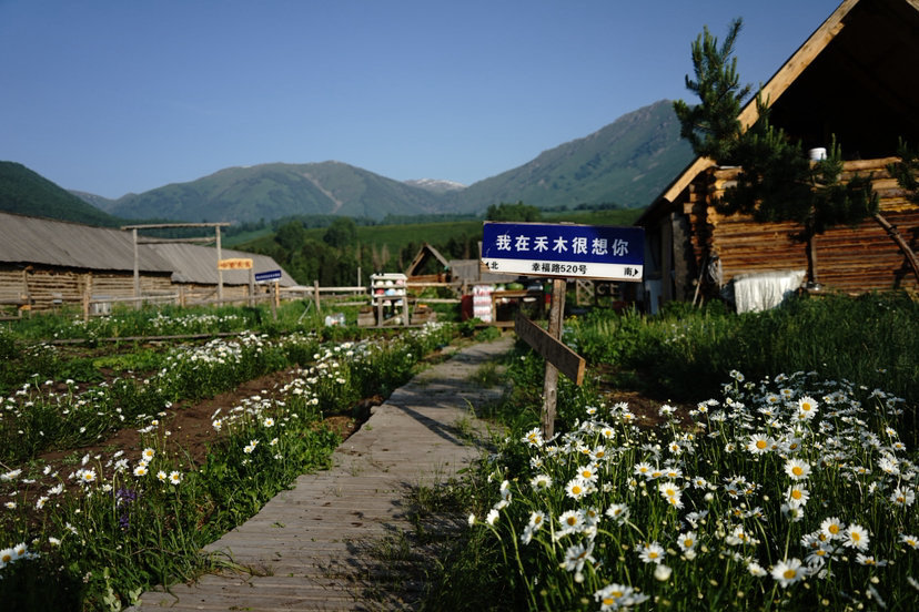
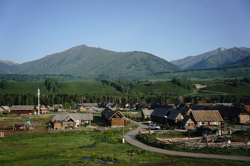
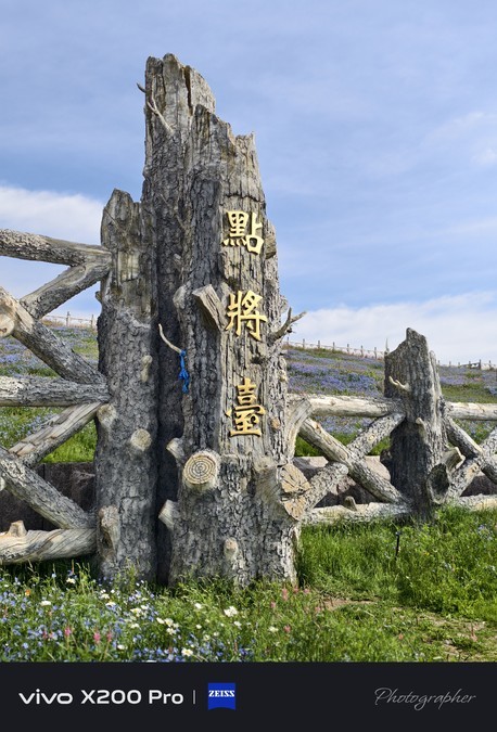
Hemu Village: a rural secret area inhabited by Tuva people
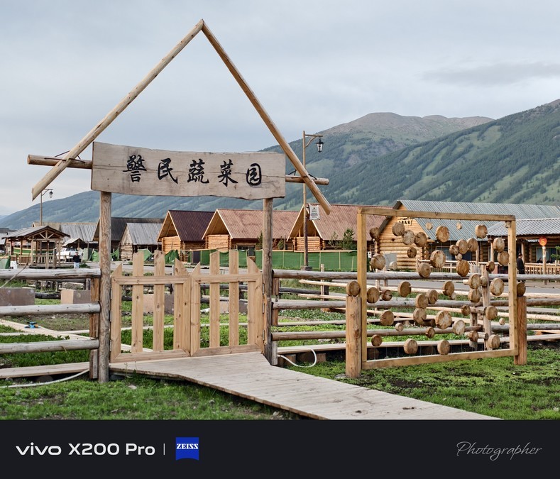
Hemu Village is located in the Kanas Scenic Area. It is the main settlement of the Mongolian Tuva people, with the most complete and oldest Tuva tribe in China. Jikplin International Ski Resort, Hemu Bridge and other famous attractions are scattered throughout, making this land full of both quaint charm and leisure vitality.
Hemu Village is divided into two parts, the old village and the new village, each with its own characteristics. The old village is home to more than 80 original Tuva herdsmen. The traditional living customs and architectural style of the Tuva people are fully preserved here. Walking through it, you can see the traces of quaint wooden houses and herdsmen everywhere; the new village is mainly populated by Kazakh herdsmen and Tuva people. Multicultural cultures blend here, forming a unique village atmosphere.
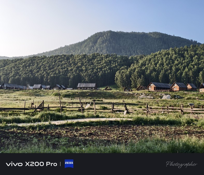
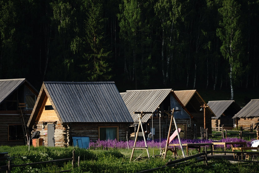
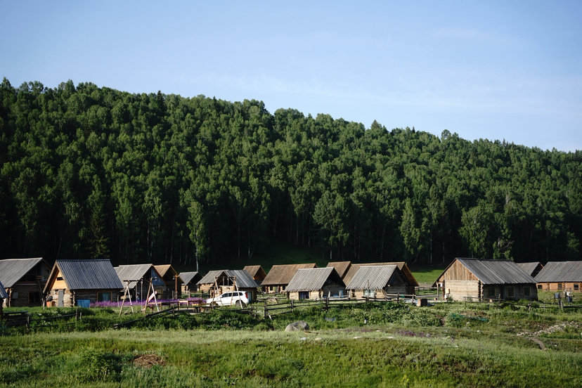
When it comes to the symbol of Hemu Village, it must be the local mountain chalet, whose architectural style is quite exquisite, reflecting the integration of region and culture everywhere. All wooden houses are designed with single-story double-slope roofs. In terms of building spacing, the minimum spacing between gables is 5 meters, and the minimum horizontal spacing is 25 meters. This not only ensures the privacy of living, but also forms a neat and orderly village layout. The maintenance walls around the building are made of raw wood, and the structure is well-dried. The two ends of the log joints are staggered by 20 cm. This process is not only sturdy and durable, but also shows the exquisite skills of traditional wooden buildings.
In terms of house layout, the wooden houses are mostly three or five bays wide, all of which use odd-numbered bays, which coincide with the regulations on the number of bays in traditional Chinese wooden buildings. It shows the deep blend of Han culture and local ethnic culture. The height of the house is 2.6 meters, and the doors and windows are all wooden frames, which are simple and practical. Side high windows are opened at the gable, and ladders are provided outside the house to the upper floors of the second-floor sloping roof frame, which increases the utilization rate of space. On the entrance side of the building, there are multiple wooden square columns supporting the rafters protruding from the double sloping roof to both sides. The base wooden boards, wooden square columns and sloping roofs together form a roofed but no external maintenance. The building's unilateral outer corridor not only provides shelter from wind and rain, but also continues the visual connection between indoor and outdoor.
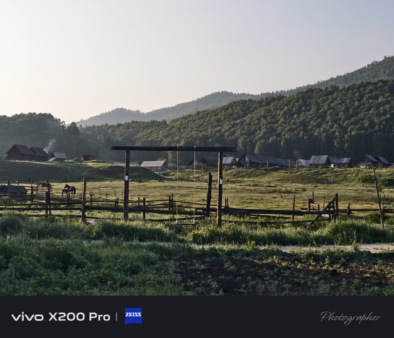
All maintenance surfaces inside the building are made of raw wood treated with anti-corrosion and fire protection, which not only ensures living safety, but also retains the natural texture of the wood. In addition to the main building, the courtyard of the villa is also equipped with wooden swings, seats, outdoor barbecue areas and other landscape structures, all of which are made of wooden materials, which are highly unified with the main architectural style.
The light wood color inside the building and the dark wood color outside, together with various structures of the same color, together outline the unified and unique rural color of Hemu Village, making people feel the perfect fusion of nature and architecture visually, and also allowing every visitor to deeply appreciate the unique charm of this land.


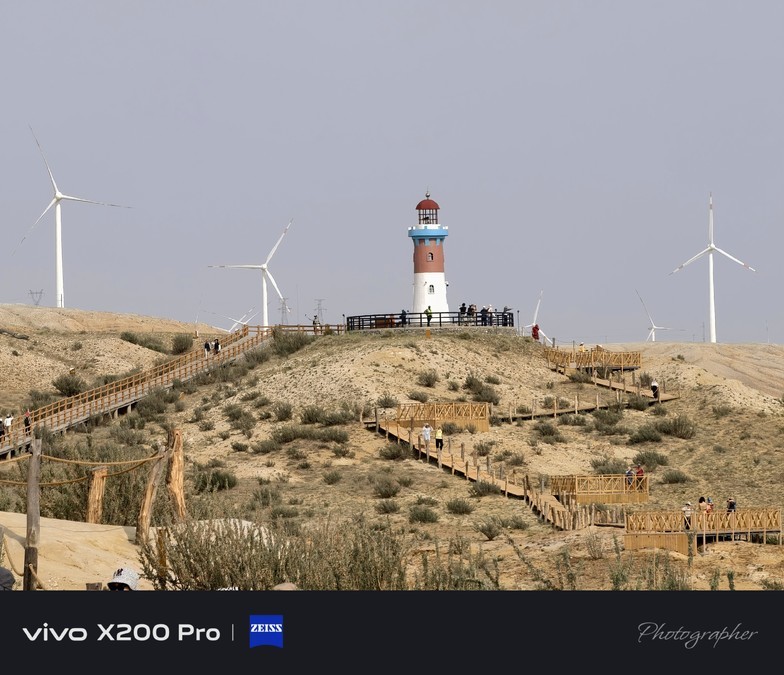
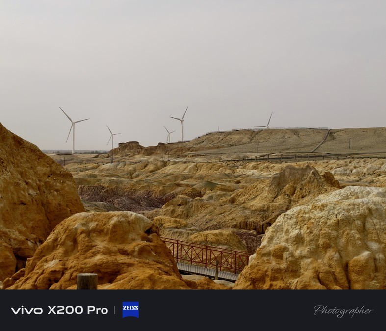
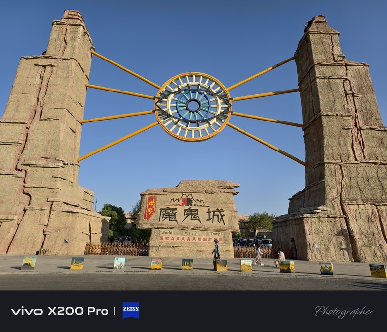
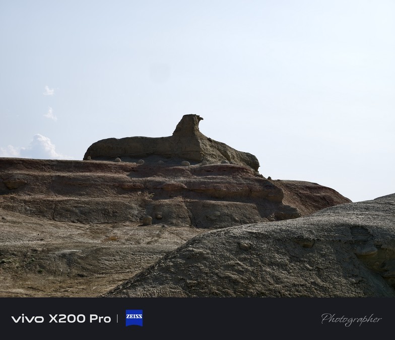
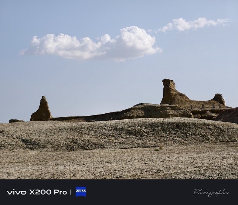
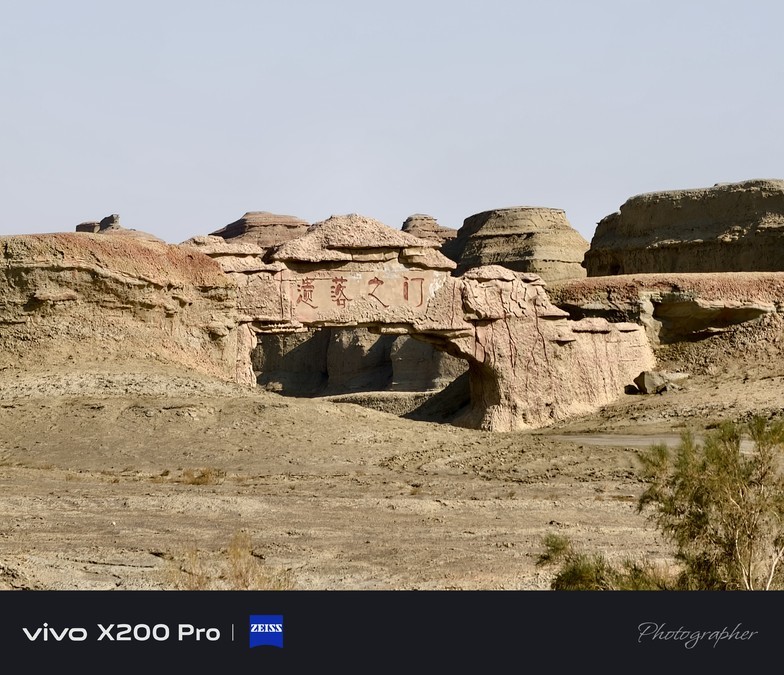
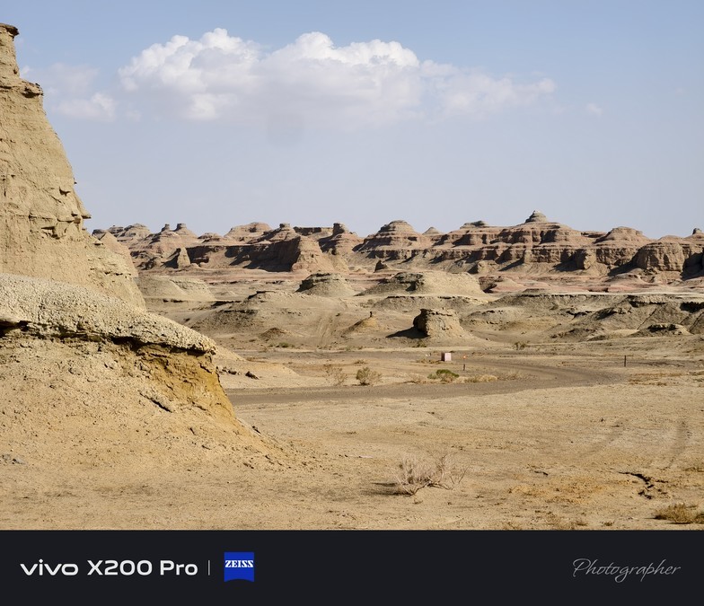
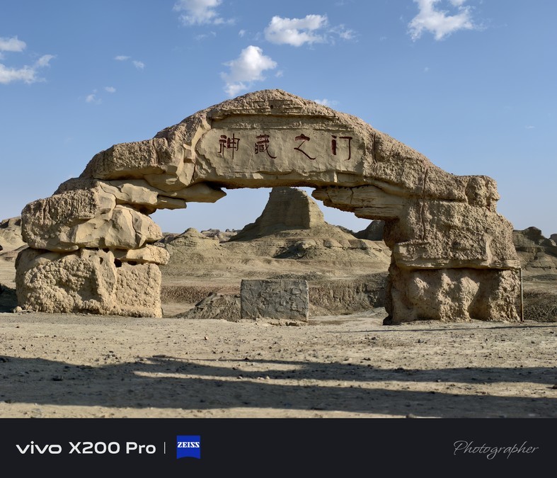
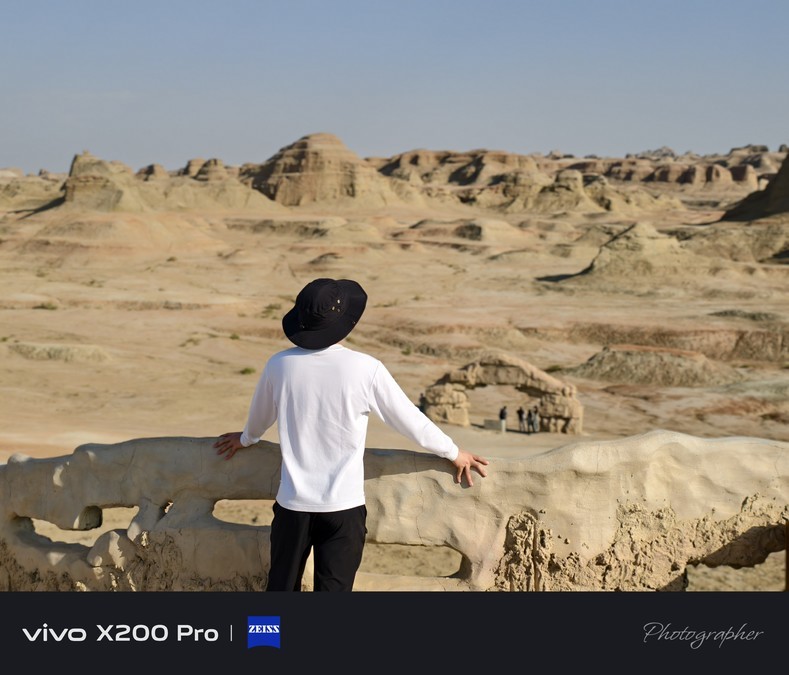
Karamay World Devil City Scenic Area
Karamay World Devil City Scenic Area, referred to as World Devil City Scenic Area, is a Yadan Landform Scenic Sightseeing Tourist Area located in Karamay City, Xinjiang Uygur Autonomous Region.
Whenever the wind blows, there will be a strange roar here, so it is called Devil City. The World Devil City Scenic Area is a "Wind Erosion City", which is formed by the wind formed by the flow of air and belongs to the "Wind Erosion Landform". The wind rolls up gravel and stones, constantly hitting, bumping, and rubbing the rocks, so it will make various sounds. Over time, various rocks of different hardness will be blown into various strange shapes by the wind.

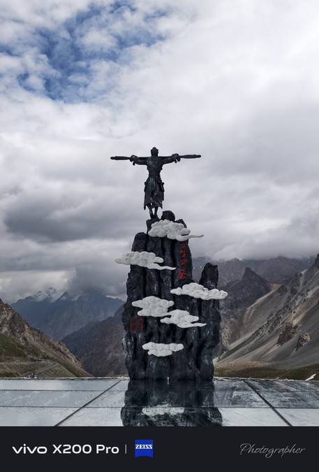
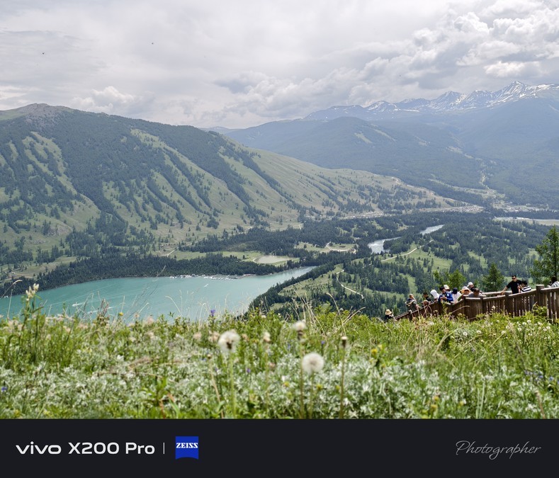
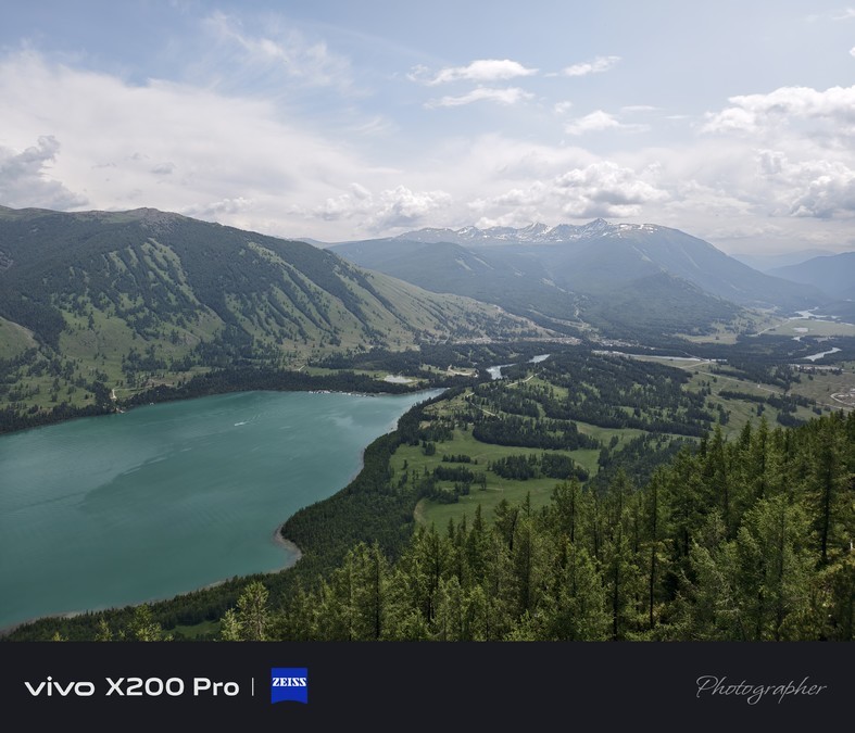
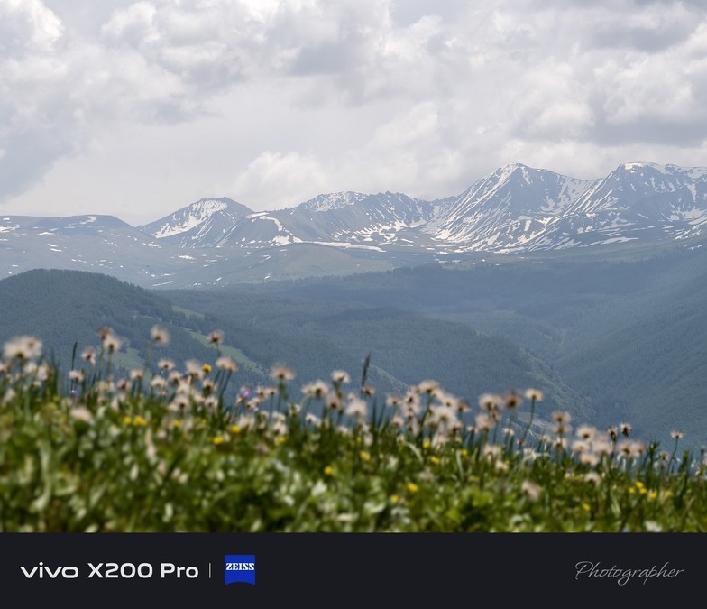
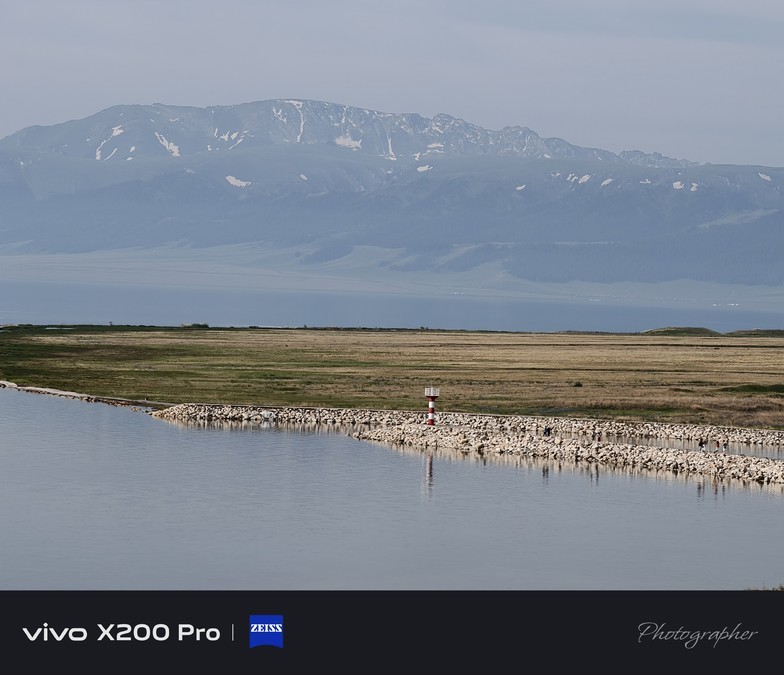
Sailimu Lake: the outer spiritual soil on the ridge of the mountain
Sailimu Lake is called "Sailimu Nur" in Mongolian, which means "lake on the ridge of the mountain". The lake surface is as high as 2073 meters above sea level, making it the highest and largest alpine lake in Xinjiang.
This pure land integrates mountains, glaciers, forests, grasslands, blue lakes and rare birds, and brings together many beautiful scenery such as male, strange, secluded, beautiful, and vast. It not only has the grandeur of nature, but also has a smart and elegant charm. Because of this, it enjoys the reputation of "a strange land from the west, a spiritual soil from outside the world". Stepping into this place is like walking into a wonderland on earth away from the hustle and bustle.


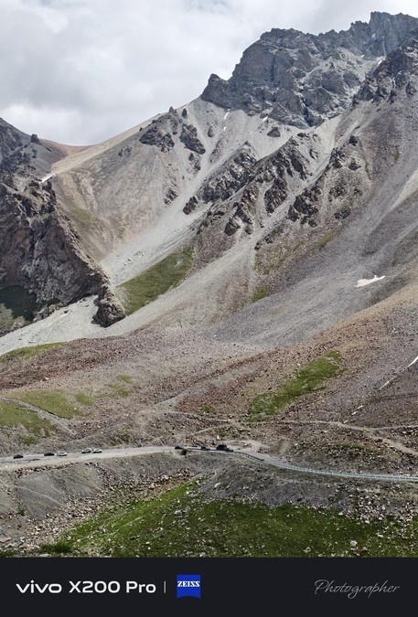
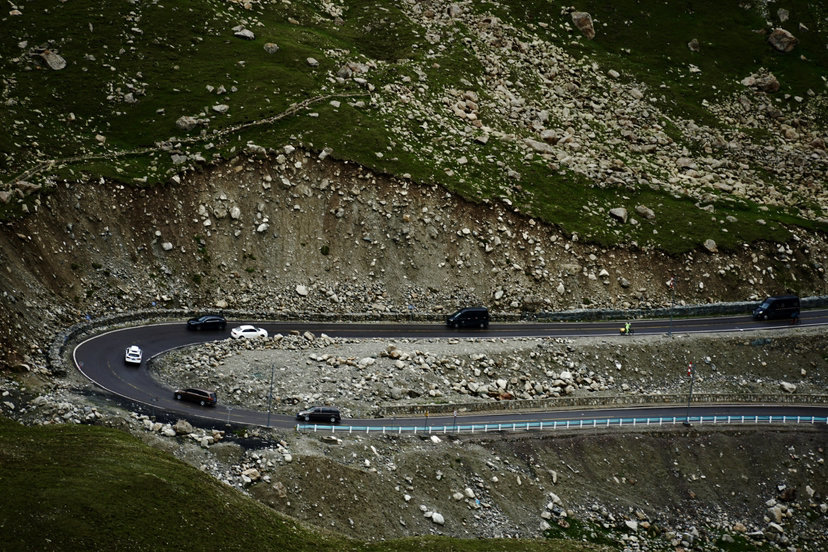
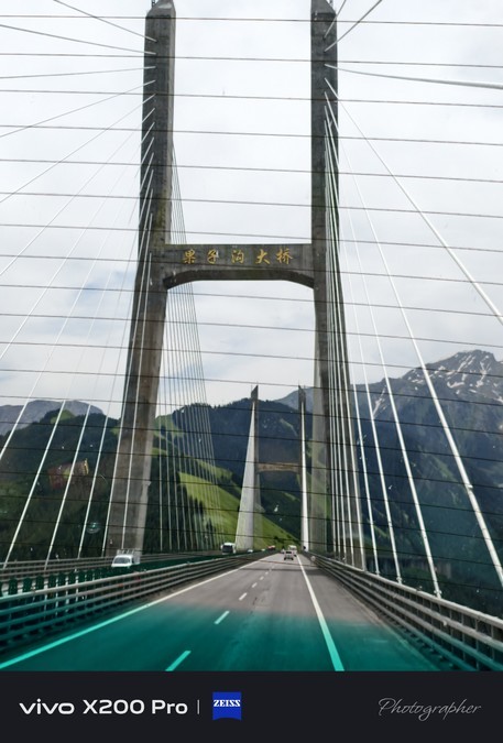
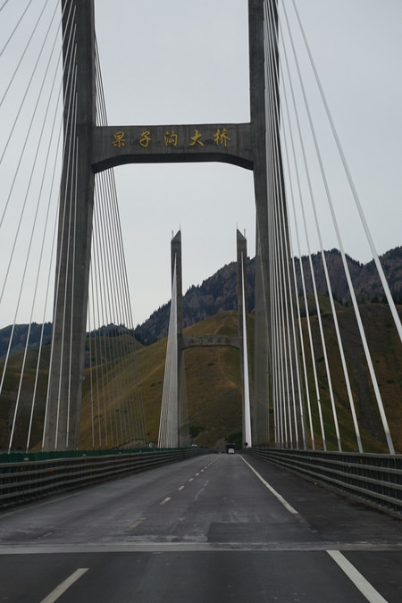
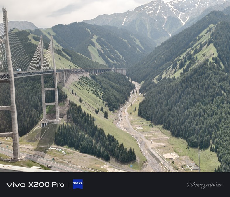
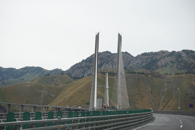
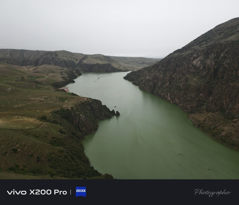
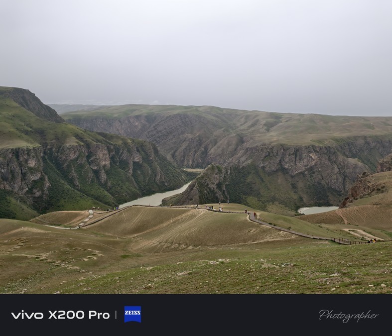
Guozigou Bridge: An engineering wonder suspended over the Tianshan Gorge, Guozigou Bridge is a high-speed channel in the Xinjiang Uygur Autonomous Region of China. It is not only a main component of the Lianyungang-Khorgos Expressway (National Expressway G30), but also a crucial livelihood project in Xinjiang.This bridge can be called a masterpiece of Chinese bridge construction - it is the first long-span highway steel truss cable-stayed bridge in China. It integrates "four new" new technologies, new structures, new processes and new equipment. It not only realizes a major breakthrough in the history of highway construction in Xinjiang, but also provides valuable new ideas and reference experience for the construction of large bridges in mountainous areas of China. It is worth mentioning that the completed Guozigou Bridge did not cut off from the natural landscape, but was integrated with the magnificent scenery of Guozigou. The majestic bridge spans the canyon and contrasts with the green mountains, green grass and streams on both sides of the river. It adds another beautiful scenery line with a unique modern engineering aesthetic to Guozigou National Scenic Area, becoming a visual highlight that should not be missed during a trip to northern Xinjiang.
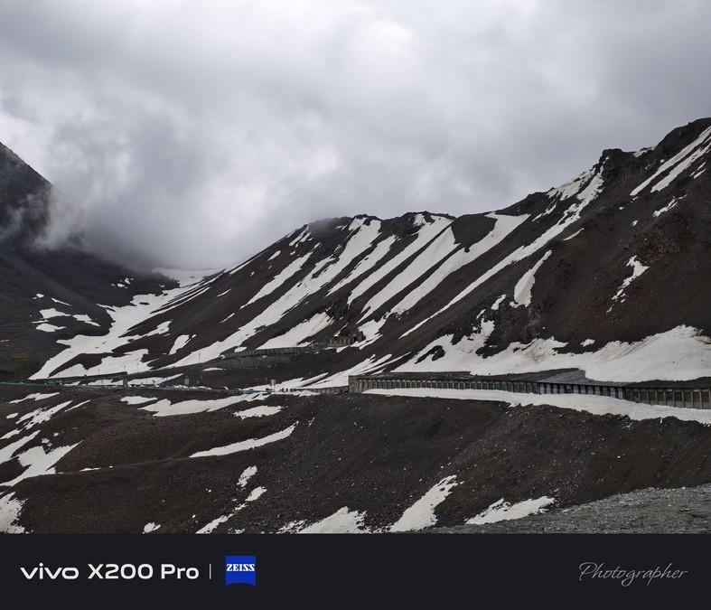
Xia Pagoda: The secret realm of the thousand-year-old ancient road in the depths of the Tianshan Mountains
Xia Pagoda, also translated as Xia Tai and Xia Te, means "ladder". In ancient times, Xia Pagoda was once a summer resort for the royal family of Wusun Kingdom and was also regarded as "summer capital". This secret realm is centered on the ancient Xia Pagoda Road that connects the north and south of the Tianshan Mountains. It connects many scenic spots such as the ancient city of Xia Pagoda, the Xia Pagoda River, the Xia Pagoda Hot Spring, the Snow Lotus Peak, and Muzi Daban. It is filled with the weight of history and the magnificence of nature everywhere.
In September 2010, the Shatta Road was named the "Most Beautiful Ancient Road in China" for its unique charm. This ancient road is not only an important channel on the ancient Silk Road, but also one of the most dangerous and dangerous ancient passages, also known as the "Tang Seng Ancient Road". It crosses the 3,600-meter Hatamuzidaban on the main ridge of the Tianshan Mountains, with a total length of 120 kilometers. It is a shortcut from Yili to southern Xinjiang, witnessing the footprints of countless caravans and travelers.
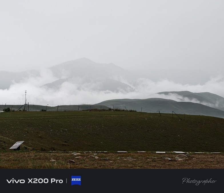
Muzalte Daban, the deepest part of the Shata River Valley, has a maximum altitude of about 5,000 meters. Along the way, the terrain is dangerous and the landscape is changeable. There are not only vast grasslands, rushing rivers, but also towering snow-capped mountains and deep canyons. During walking, you can not only feel the thousand-year wind and frost of the Silk Road, but also enjoy the original scenery in the depths of the Tianshan Mountains. It is a dream place for hikers and explorers.

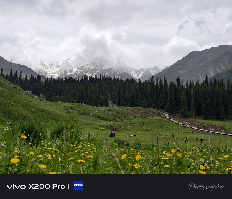
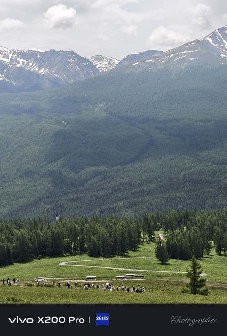
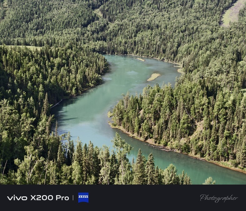
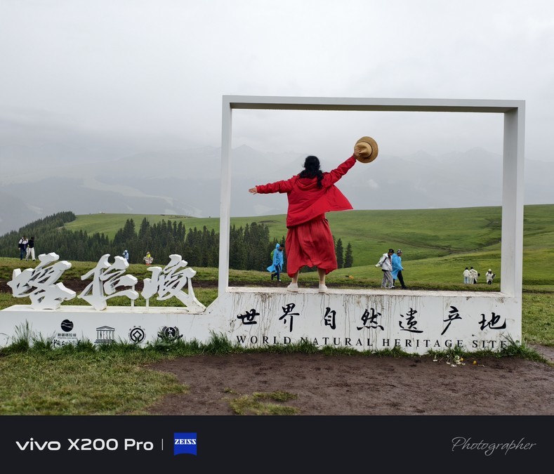
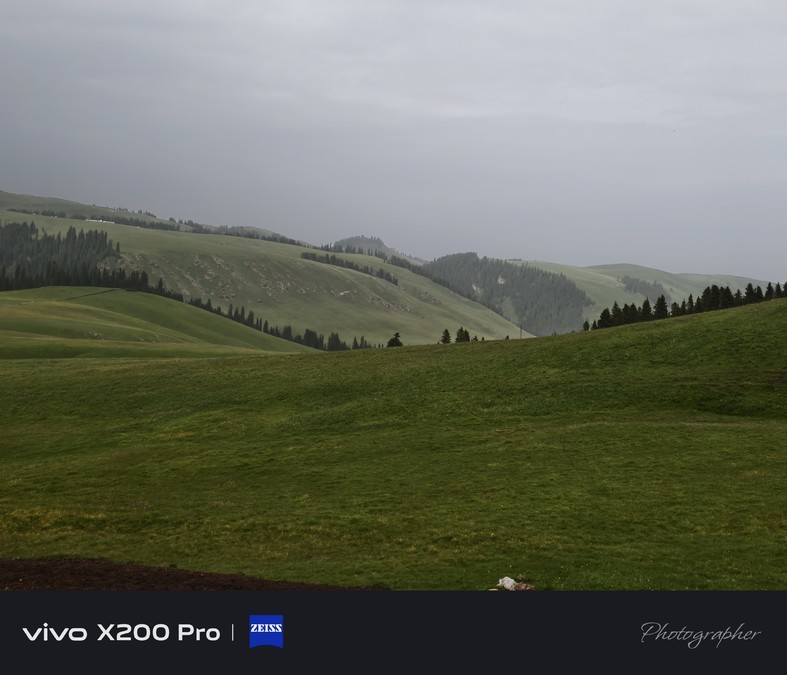
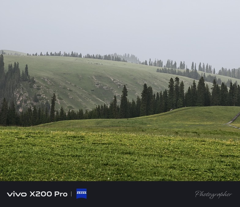
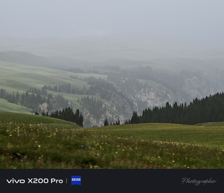
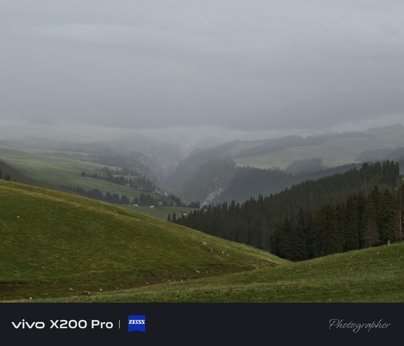
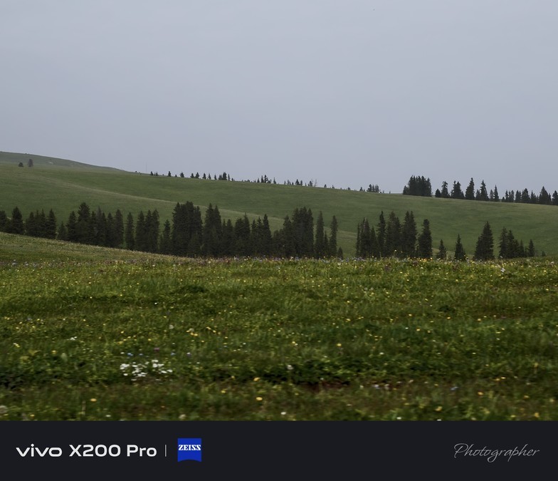
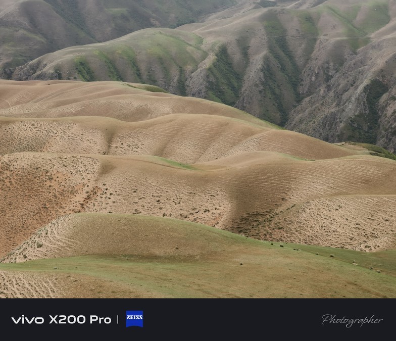
The Karajun Grassland belongs to a typical alpine five-flower meadow natural grassland, located in the Yili River Valley of Xinjiang, Tekes County, is located in the transition zone from the West Tianshan to the Yili River Valley. Its unique geographical environment has created its unique grassland scenery. This grassland is huge, with an altitude between 1305 and 3957 meters. It is 89 kilometers long from east to west, 32 kilometers wide from north to south, and has a total area of 2848 square kilometers. Walking through it, you can see boundless greenery and flowers. East Karajun is located deep in the grassland, which can be said to be the essence of the entire Karajun grassland. The most famous here are five core attractions - the Five Flowers Meadow, the Flower Terrace, the Kudai Forest Grand Canyon, the Three-Pole Flattening Observation Deck and the Falcon Observation Point. The landscape is rich and varied, with both towering snow-capped mountains and vast grasslands contrasted by each other, and green forests and deep canyons interlaced. Every step can meet different surprises, which can be called the most gorgeous natural picture at the foot of Tianshan Mountain.
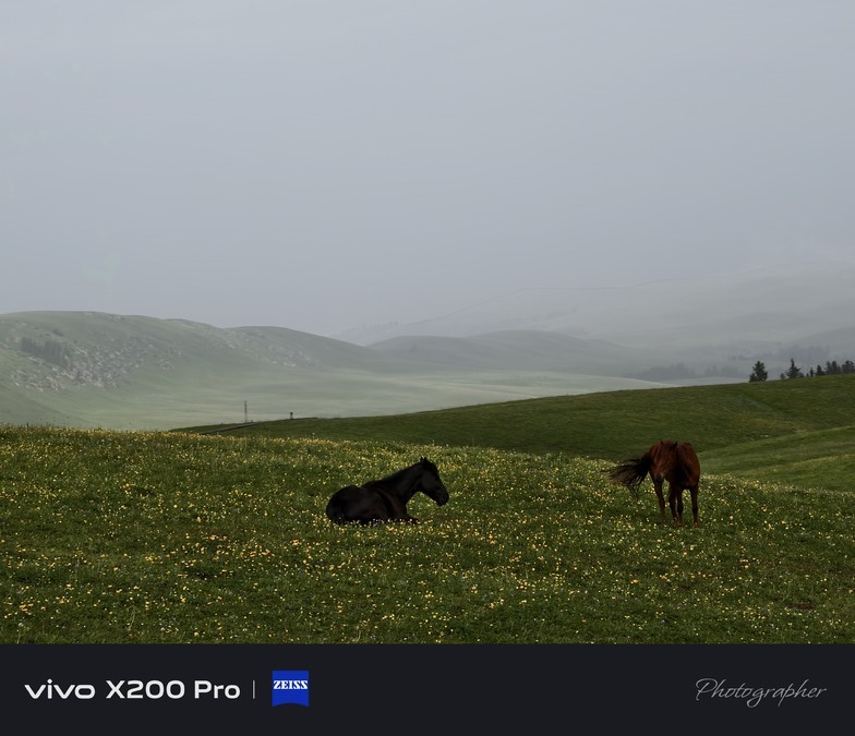
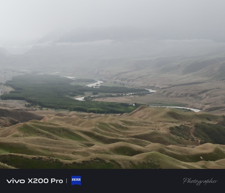
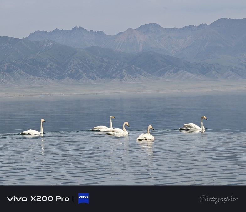
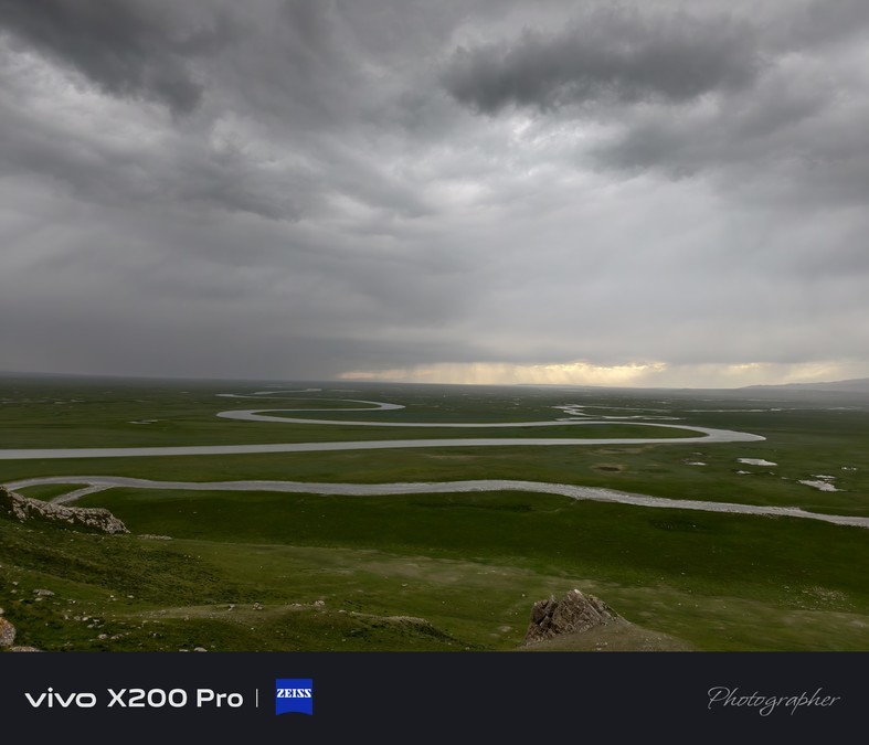
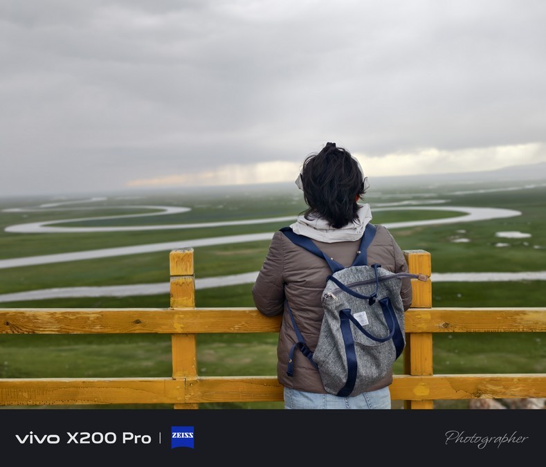
Bayingolin Mongol Autonomous Prefecture Bayingbrook Scenic Area (referred to as Bayingbrook Scenic Area) is located in the large intermountain basin of the Tianshan Mountains, with the magnificent alpine meadow grassland and unique alpine marsh wetland ecosystem as the background. The core landscape revolves around the meander and marsh wetlands in the upper reaches of the Kaidu River. It is a pure and flawless natural landscape tourist area.
This place is known as the "Green Pure Land", and it is also home to the largest subalpine alpine meadow grassland in the country. The vast grassland is laid out into the sky, contrasting with the snow-capped mountains in the distance, and the swamp wetlands are rich in water and grass, forming a complete ecosystem and becoming a habitat for many wild animals.
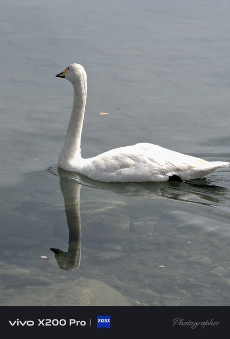
The "Swan Home" in the scenic area is a highlight! Here are not only noble and elegant swans swimming leisurely, but also groups of red-billed gulls flying back and forth. You can also feed each other at close range and feel the pleasure of close contact with wild animals. It is a warm experience not to be missed during your trip to Bayingoulk~
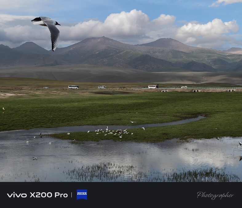
Bayingoulen Mongolian Autonomous Prefecture Bayingoulk Scenic Area has 13 springs, 7 lakes, and 20 rivers. The Kaidu River, which winds on the grassland, is better known as "Nine Bends and Eighteen Bends". In "Journey to the West", one of China's four famous works, the Kaidu River also has a well-known name - Tongtian River. It is said that the "Sunshine Island" where Tang Seng learned scriptures is in Hejing County, full of mystery. The famous Bayinbrook Swan Lake Reserve is located in the alpine basin upstream of the river. The tail of the river is the largest inland freshwater lake in China - Bosten Lake. The Kaidu River, which is more than 40 meters wide, twists and turns on the flat and vast grassland.


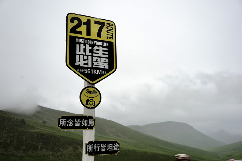
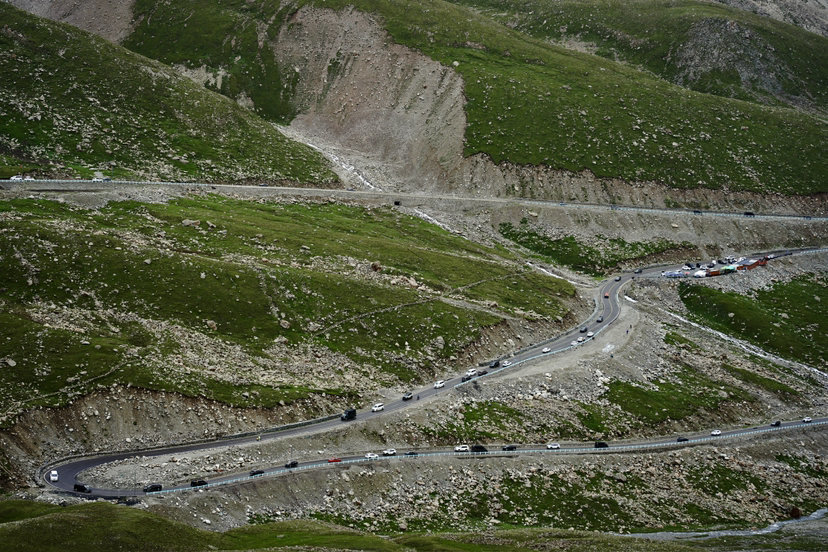
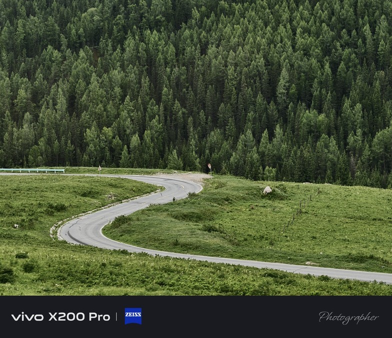
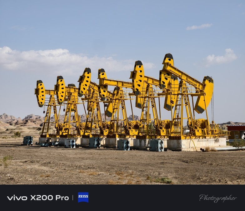
The Duku Highway, that is, the Dushanzi to Kuqa section of National Highway 217, is the southern section of National Highway 217 connecting the north and south of Xinjiang. Because it crosses the Tianshan Mountains, it is also known as the Tianshan Highway. It starts from Dushanzi District, Karamay City, the oil city in northern Xinjiang, and ends in the south at the southern foot of the Tianshan Mountains and Kuqa City, Aksu Prefecture, southern Xinjiang, on the northern edge of the Tarim Basin. It has a total length of 561 kilometers, half of which is above 2,000 meters above sea level, and the highest point, Tielimaitidaban, is above 3,400 meters above sea level.
The Duku Highway is a veritable scenic road, from the Dushanzi Grand Canyon at the starting point, to the Narati and Bayinbrook grasslands along the way, and then to the mysterious Grand Canyon of Kuqa Tianshan at the end. Along the Duku Highway, you can pass through Yilian Habirga Mountain, Borokonu Mountain, Awulal Mountain, Narati Mountain, Erbin Mountain, Hark Mountain, Yining Mountain and Kuqa Basin. The Duku Highway has four seasons in one day, showing the magnificent wonders of "four seasons in one day and different days in ten miles" to the majority of tourists.