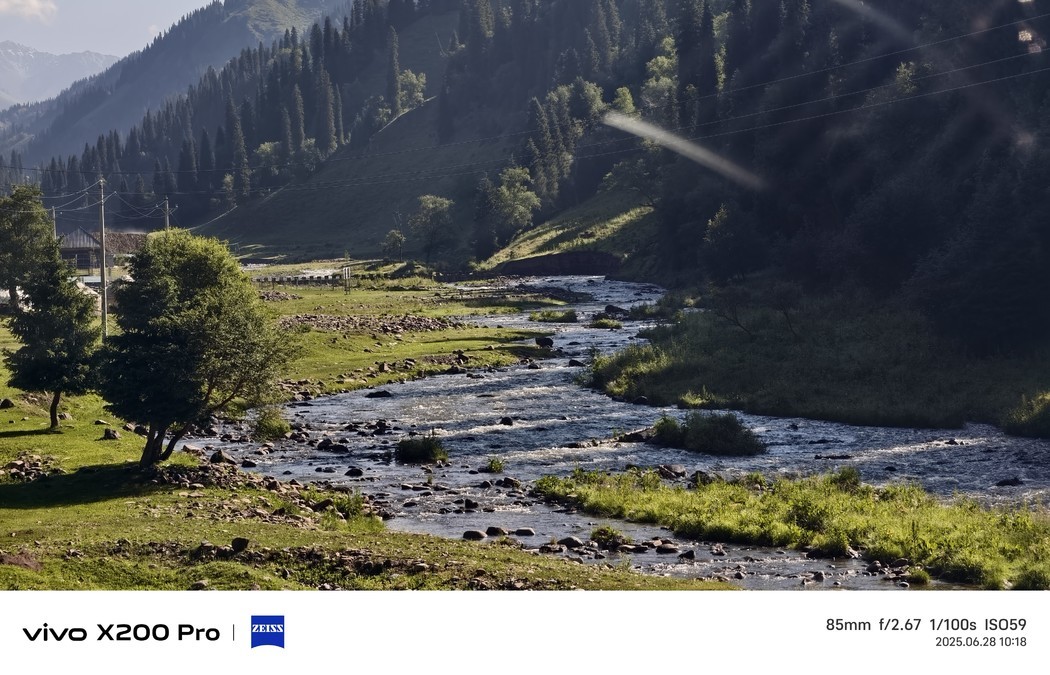


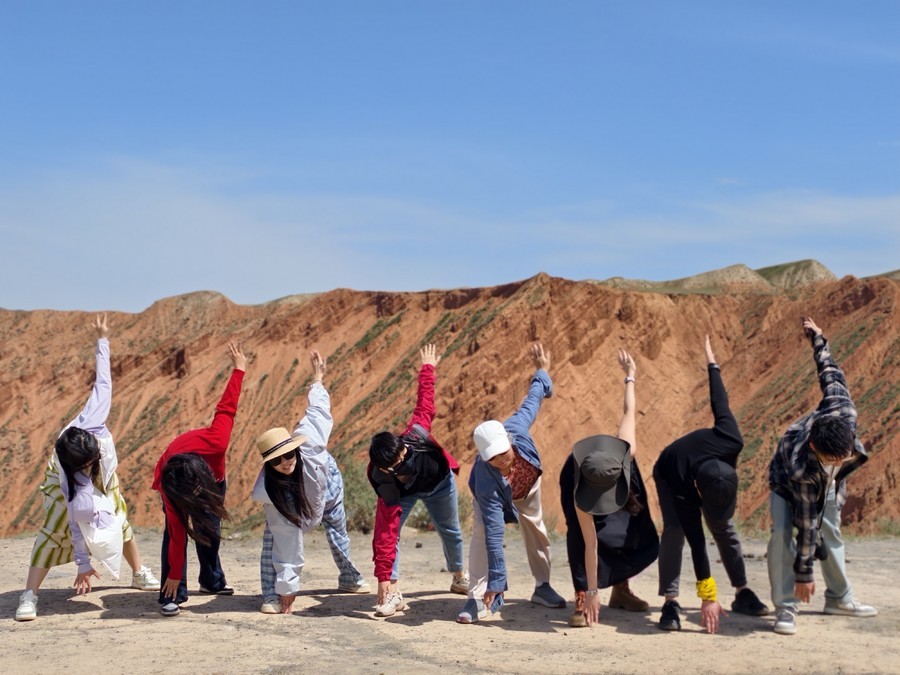
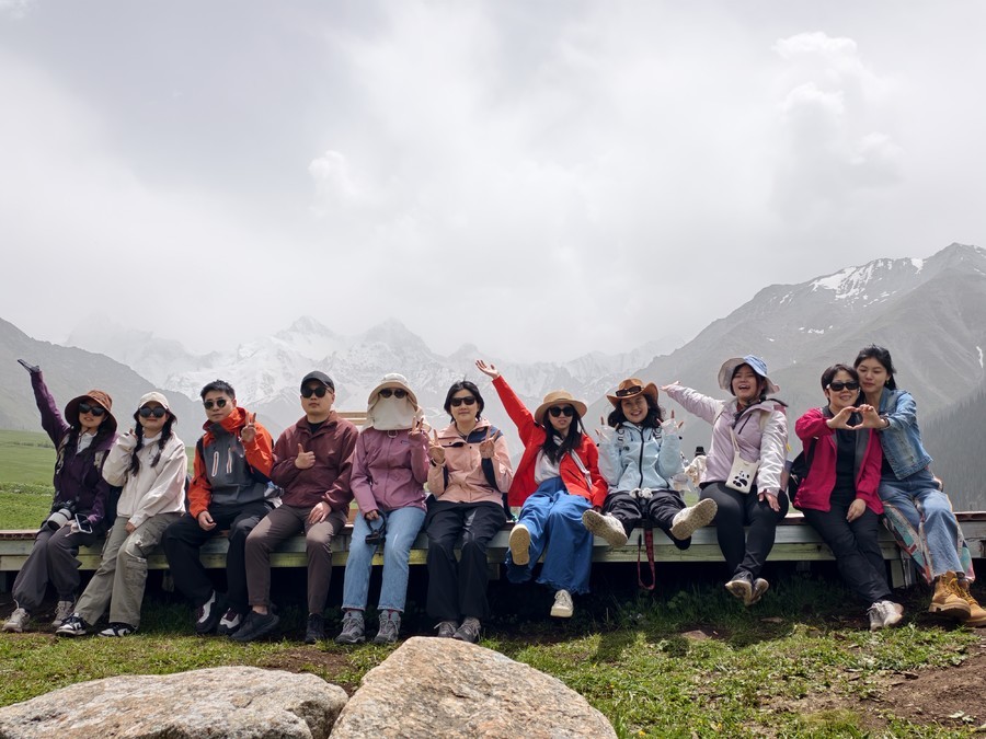
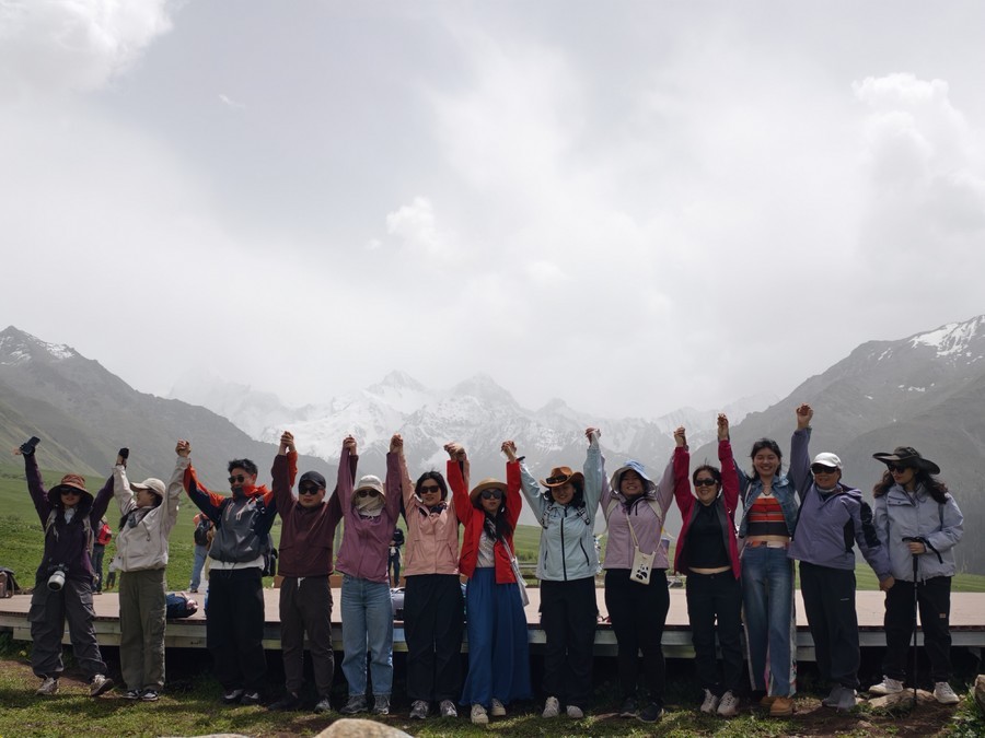
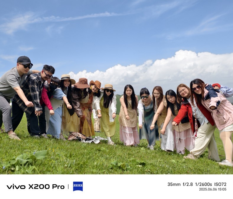
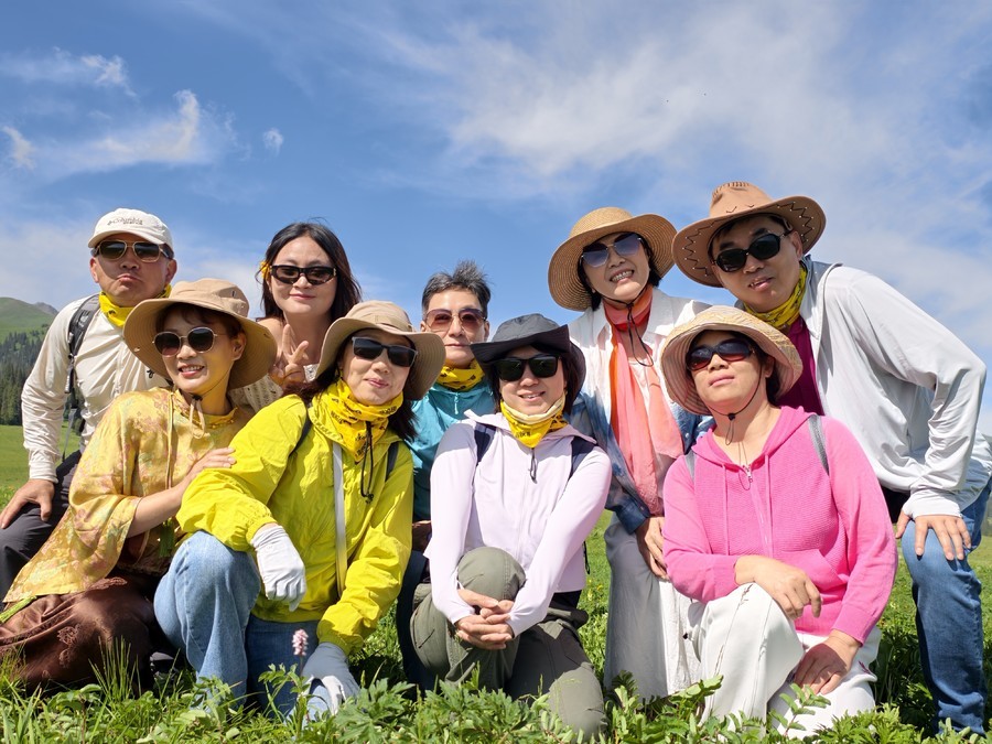
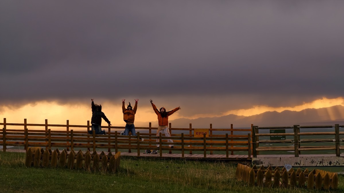
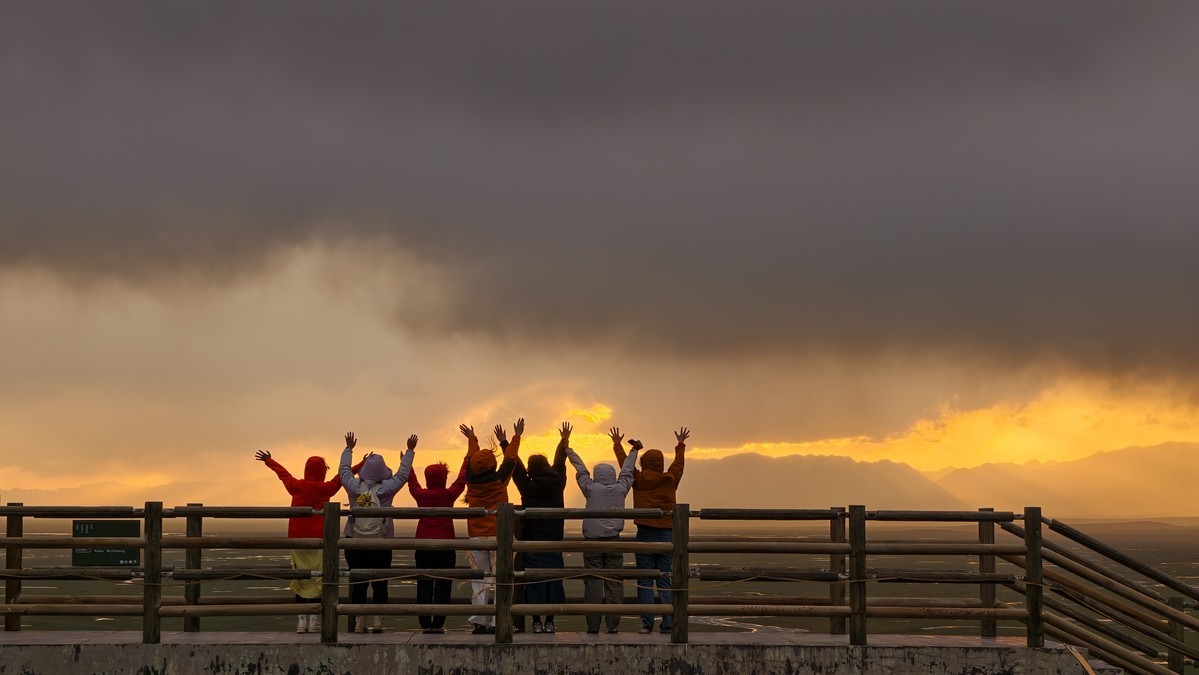
Xinjiang - The season of drunken beauty is waiting for you in Tianshan
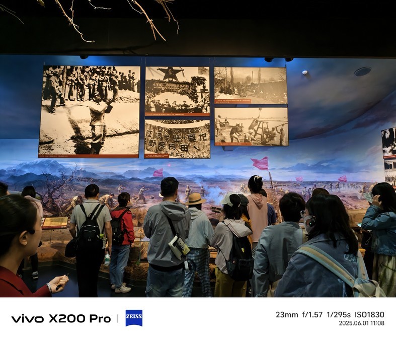
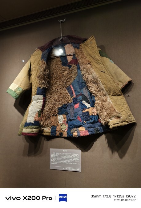
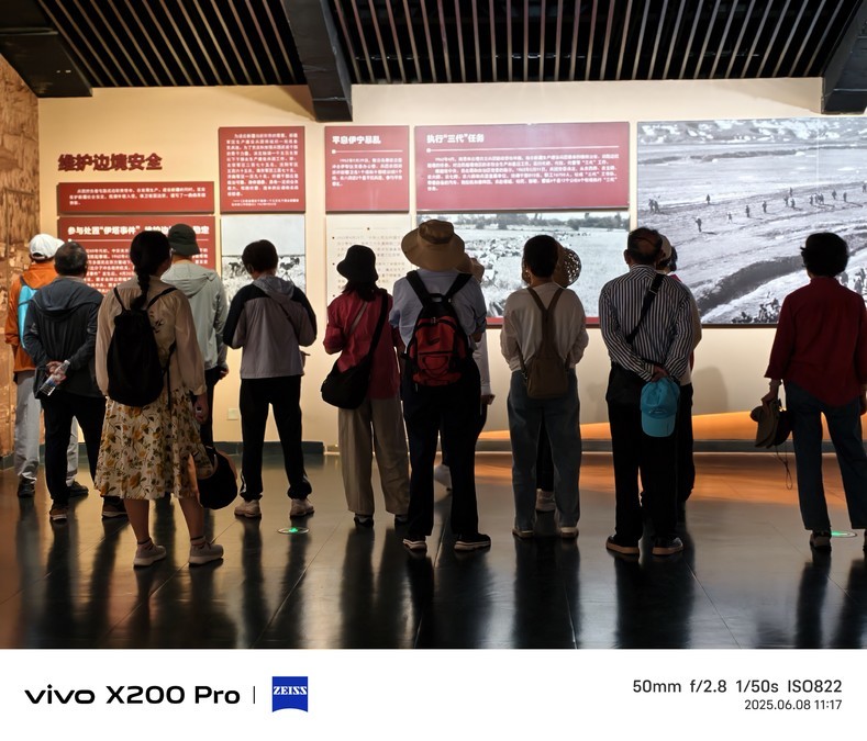
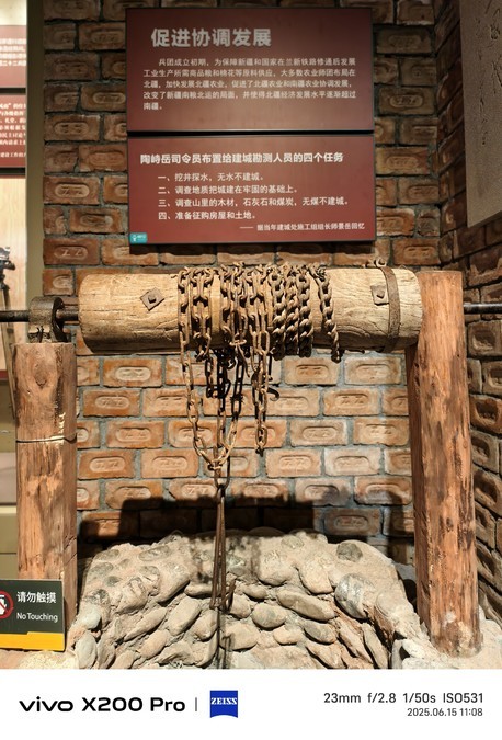
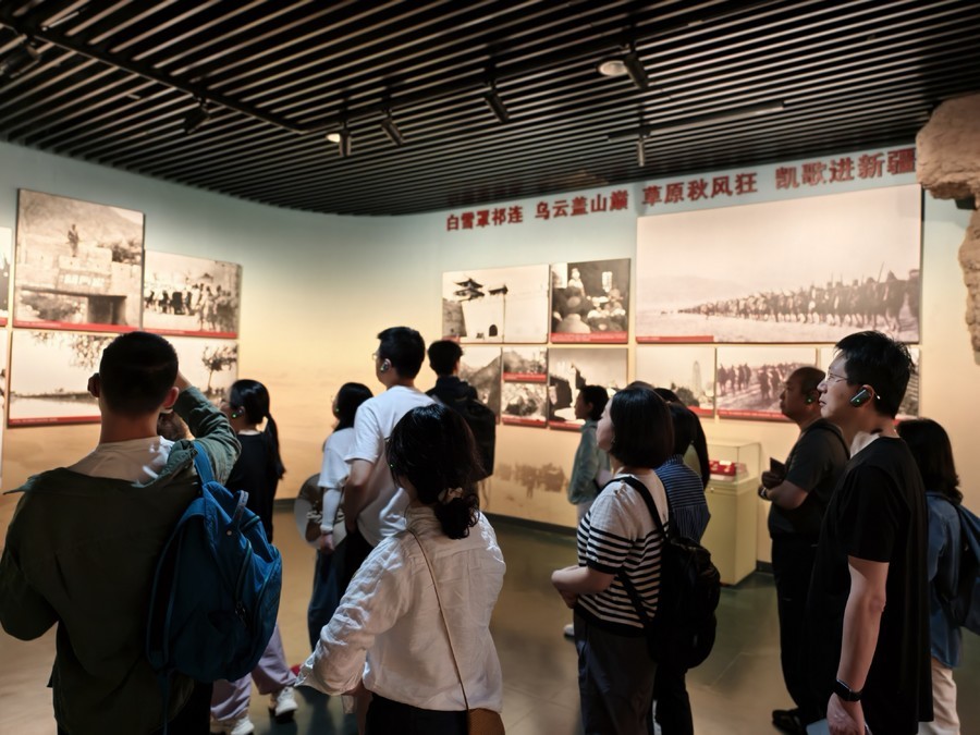
Shihezi Museum, located on North 3rd Road, Shihezi City, was renovated and expanded from the former "First Building of Military Reclamation". In 2008, it was open to the whole society for free. It is the Xinjiang "Corps patriotism, reclamation and frontier traditional education base"; named as the National Patriotism Education Demonstration Base by the Publicity Department of the Chinese Communist Party, and one of the 100 red tourism classic scenic spots in the country; the total construction area of the museum is 9703 square meters, with a collection of 5,000 cultural relics of various types and 4,000 military reclamation cultural relics. Among them, 29 military reclamation cultural relics are listed as national first-class precious revolutionary cultural relics, 3 are listed as national first-class historical relics data, 2 are listed as second-class ancient cultural relics, and 24 are listed as third-class ancient cultural relics. On April 13, 2018, it was shortlisted for "Magical Northwest 100 Scenes". The first stop to Xinjiang, highly recommended!


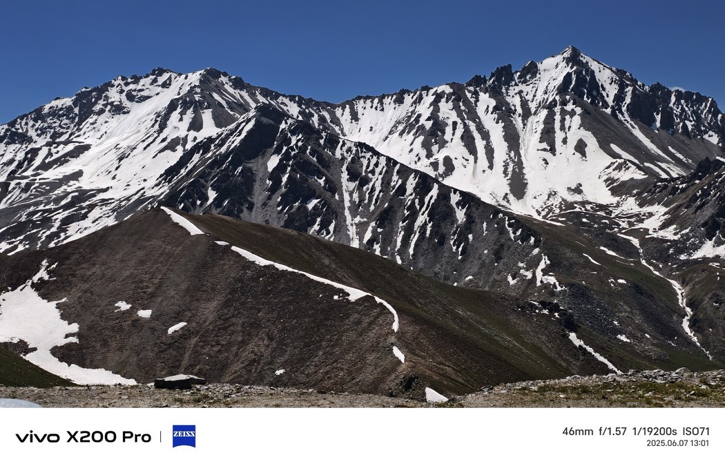
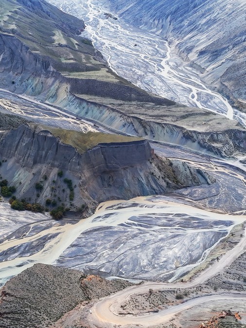
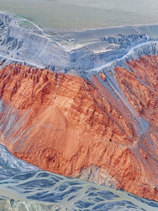
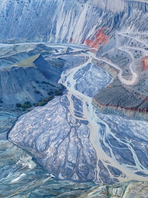
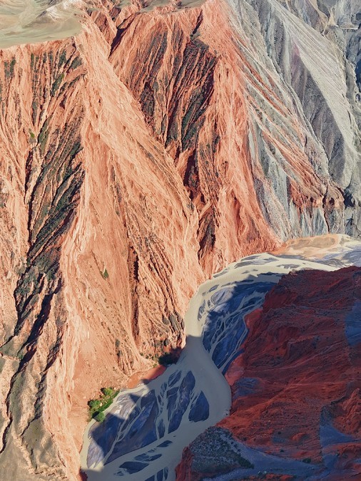
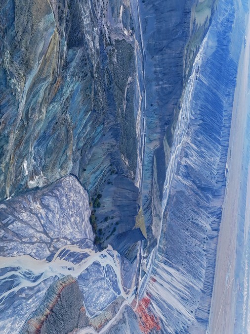
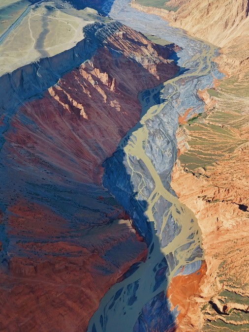
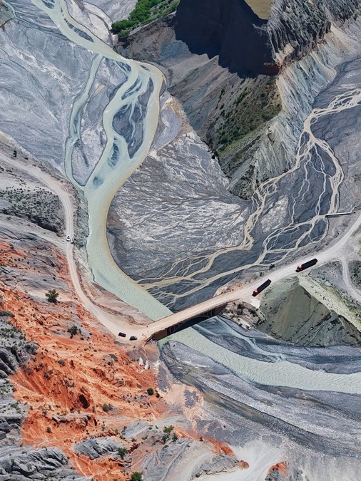
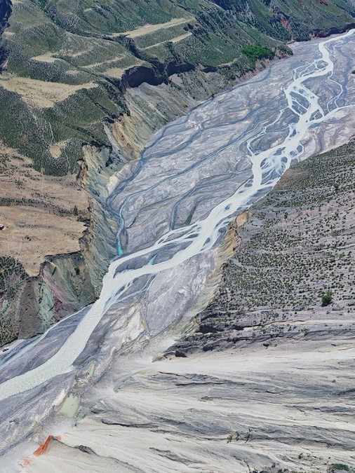
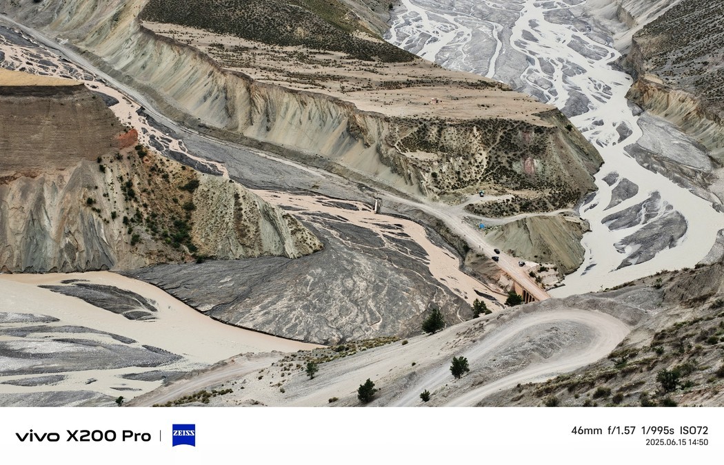
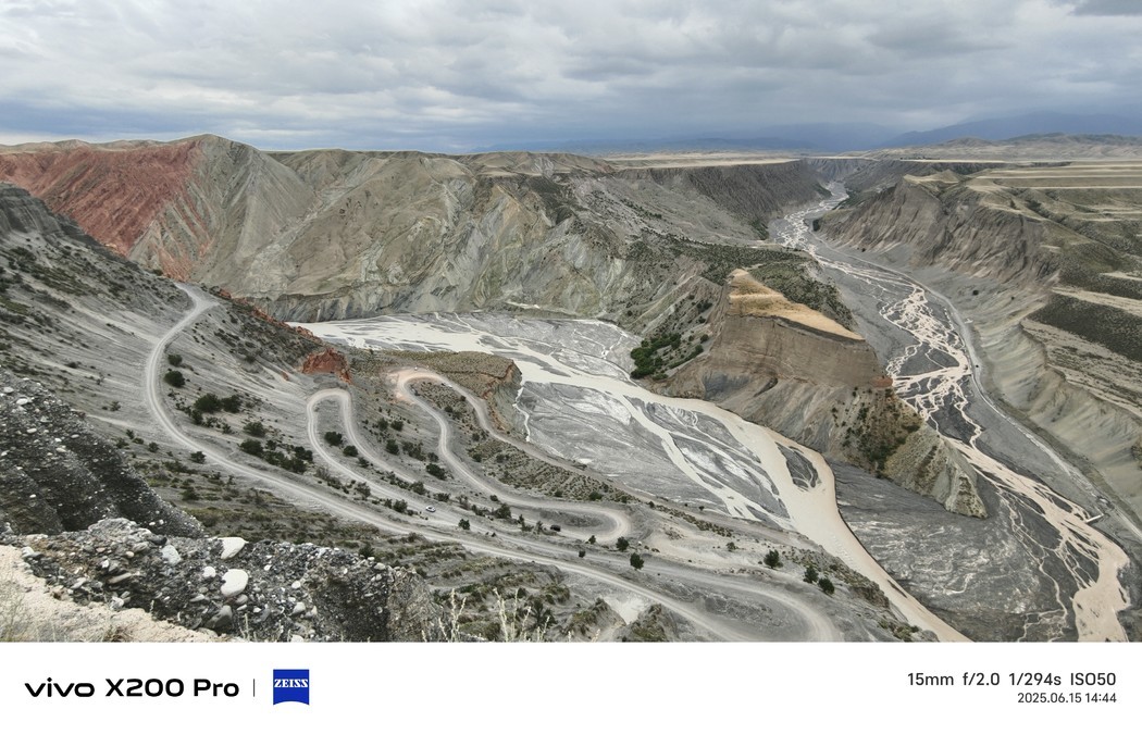
Anjihai Grand Canyon, also known as Hongshan Grand Canyon, is located in the geological fault zone at the northern foot of the Tianshan Mountains west of Anjihai Town, Shawan City, Tacheng Prefecture, Xinjiang Uygur Autonomous Region, originating from the Tianshan Mountains.
Anjihai River is the main formation of rivers in this valley. It belongs to one of the four major water systems of Shawan. The upper reaches are called Bajian Gully, which originated from the main peak of Yilian Habiga Mountain. The river has long been initialized through the Tonggut area, forming an umbrella-shaped alluvial fan landform that expands northward, and cut a deep valley cliff in the hilly area about 7 kilometers north of Yuanxing Palace, forming a geological feature of the coexistence of plains and dangerous passages. The cliff in the canyon is only a few meters wide, and the depth on both sides is as deep as 400 meters, forming a colorful cliff landscape. Be sure to stand at a height to observe the canyon, it's spectacular.

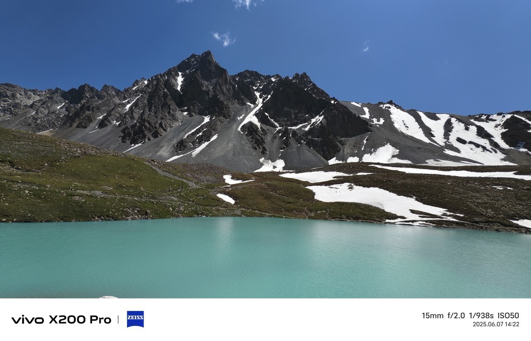
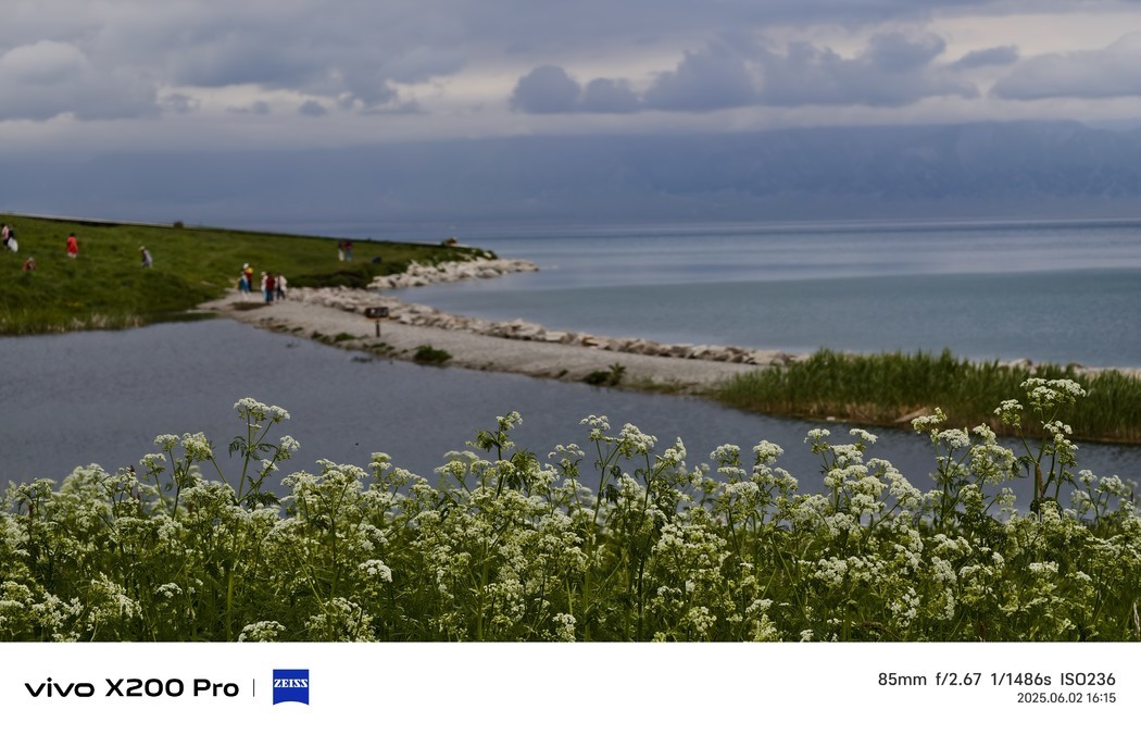
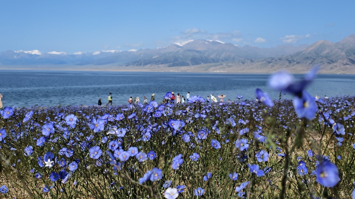
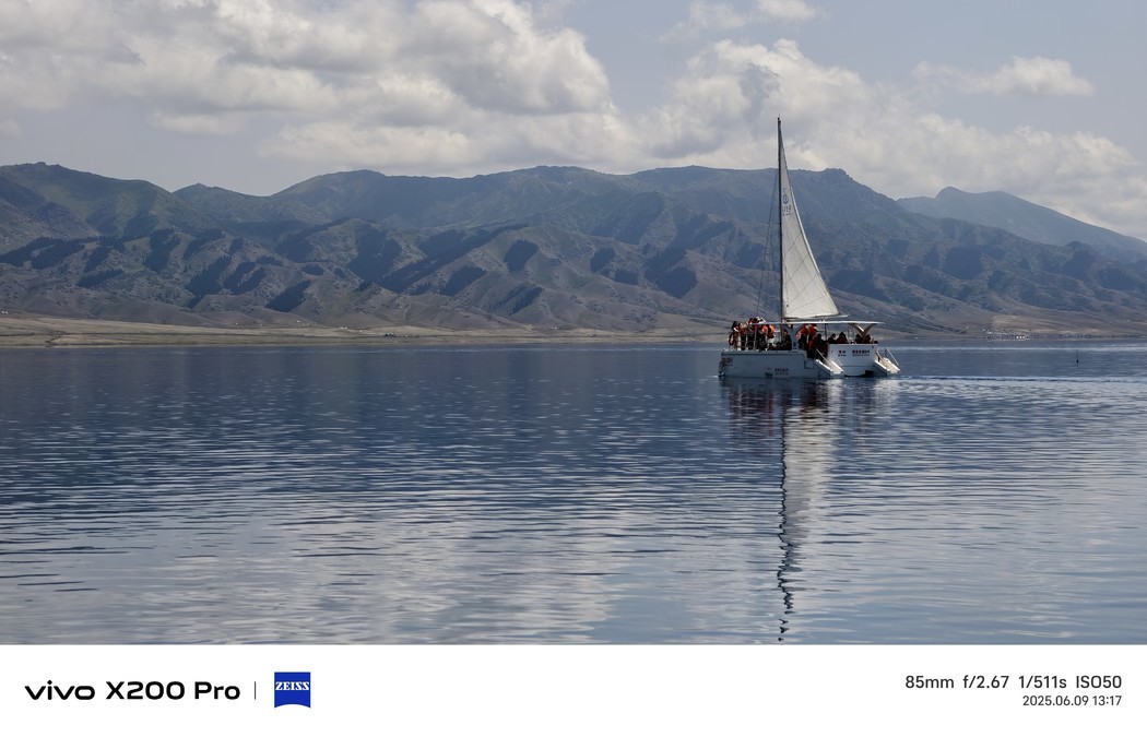
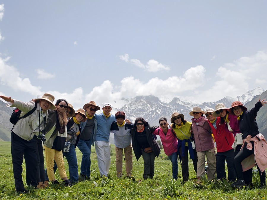
Sailimu Lake is one of the most transparent lakes in China. It is also known as "the last tear of the Atlantic Ocean" due to its location at the end of the Atlantic Ocean warm and humid stream. The lake is 2071 meters above sea level, covers an area of 458 square kilometers, and has a maximum water depth of 92 meters. The lake has a transparency of 12 meters, a water storage capacity of 21 billion cubic meters, and a salinity of 2853mg/L. It belongs to the type II brackish lake of the Magnesium Sulfate Group. Surrounded by mountains, the lake area is surrounded by wetlands, grasslands, forests, and glaciers from low to high. Lake Sailimu has a temperate continental semi-arid climate. Due to its high altitude, sufficient water vapor from the Atlantic Ocean is affected by the uplift of the terrain, forming a unique natural landscape.
Sabine said: If you don't come to Sailu once in your life, your life will be in vain.

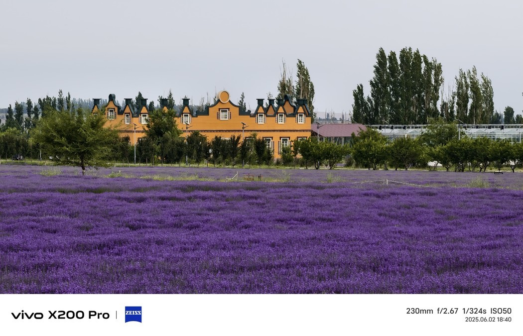
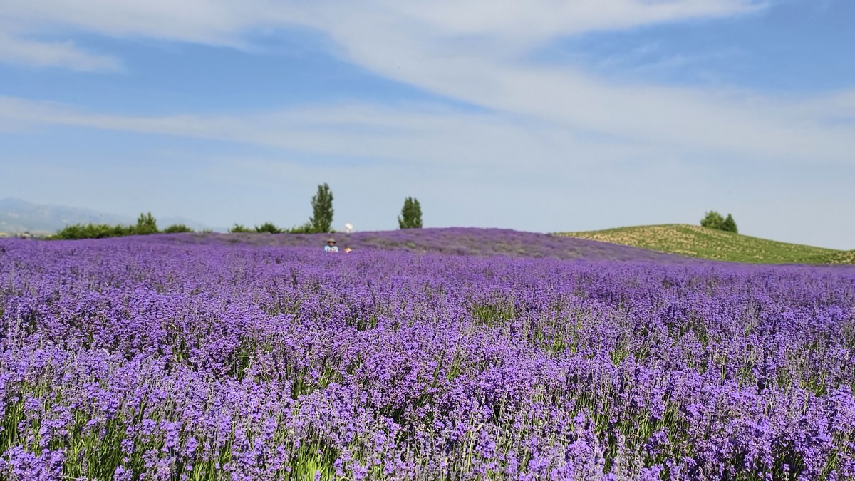
Lavender, flower language waiting for love. Every June-July, the lavender in Huocheng competes to open, and the purple ocean!


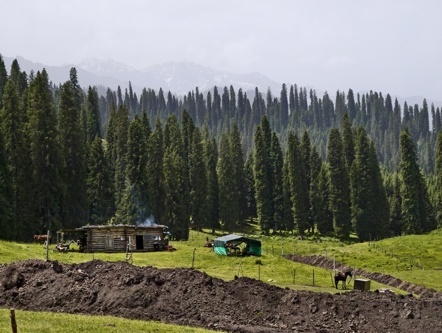
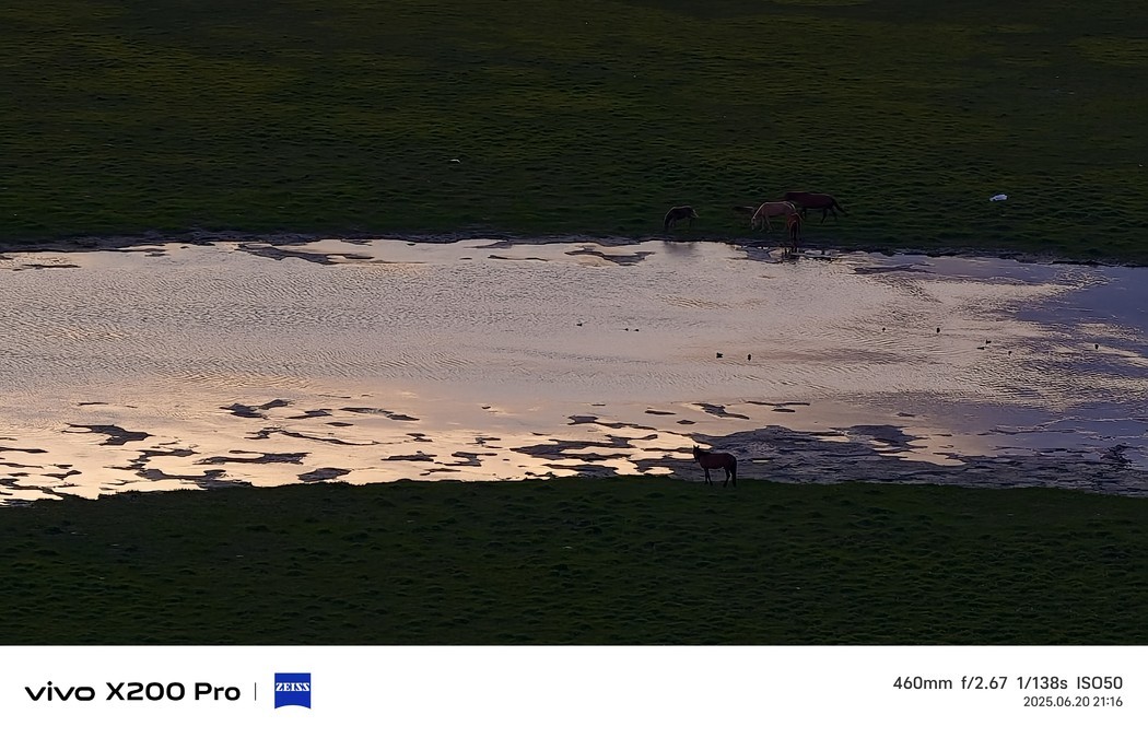
Karajun grassland, a typical alpine five-flower meadow natural grassland, is located in Xinjiang Yili River Valley in Tekes County, is the transition zone from the West Tianshan Mountain to the Yili River Valley. The grassland is between 1305-3957 meters above sea level, 89 kilometers long from east to west and 32 kilometers wide from north to south, with a total area of 2848 square kilometers. It was listed on the UNESCO World Natural Heritage List in 2013
Karajun grassland was historically the summer pasture of the ancient Wusun Kingdom, which in Kazakh means "wilderness on the ridge" or "black fertile and vast wilderness"


The Shata Ancient Road is the ancient road from Ili to Aksu. In Mongolian, it is called "Shatu Aman", which means ladder. It crosses the main ridge of Tianshan Mountain, Hatamuzi Daban, which is 3600m from Shanghai, and connects the north and south of Tianshan Mountain. It is a shortcut for Yili to reach the southern border. Because in the Qing Dynasty, there were 70 households specializing in chiseling ice ladders on the Muchaerte Glacier, so it was named "Shatu". Shatu is the transliteration of Shatu, which means "ladder", "step", "ladder", and also known as "Shata". The Shata Ancient Road is 120 kilometers long and is a shortcut for Yili to reach the southern border. "Shata Ancient Road" is also called "Tang Monk Ancient Road", which was once the road through which Tang monks learned their scriptures.


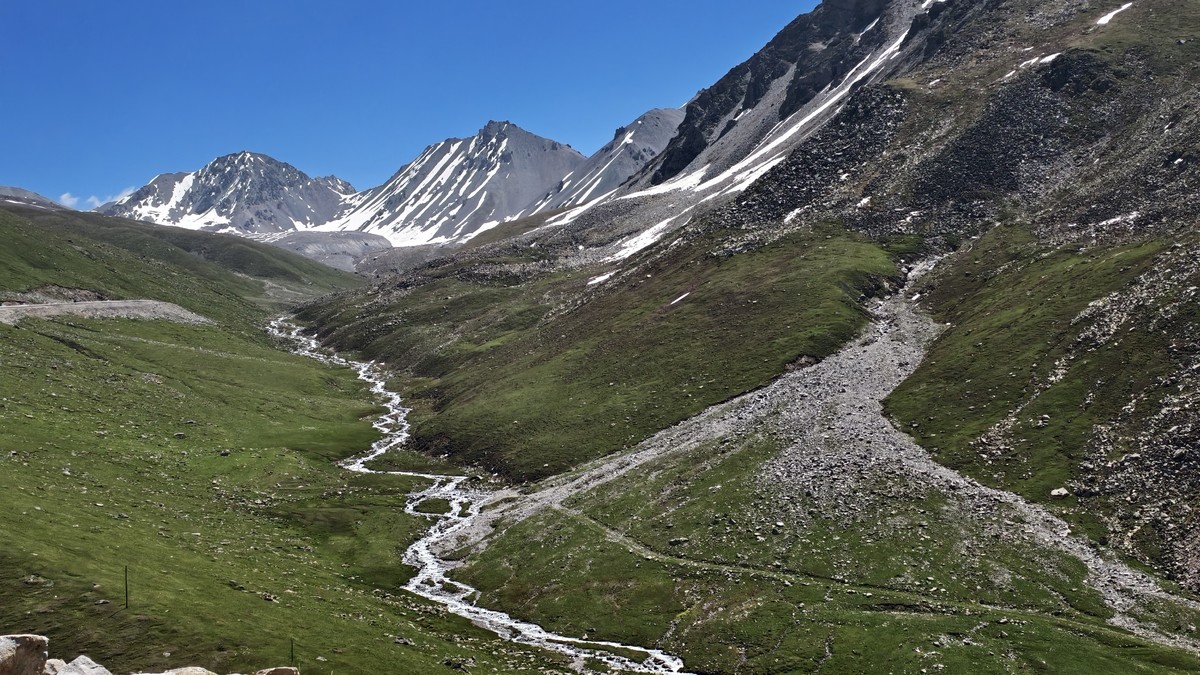
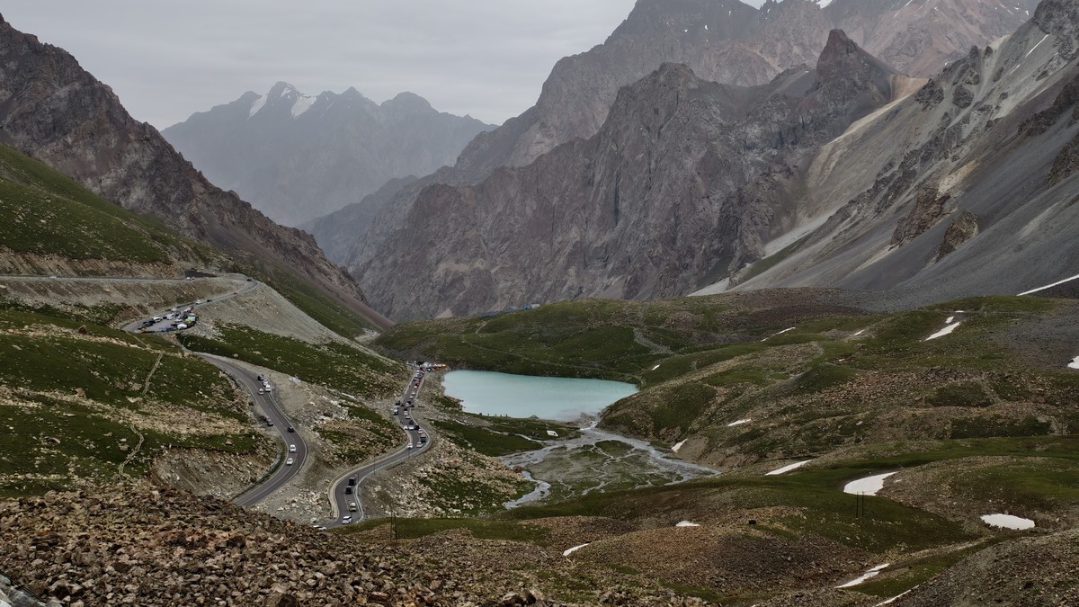
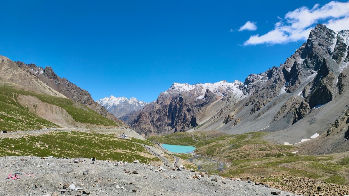
The Kudenin Scenic Area is a broad mountain valley running north and south, about 14 kilometers long and 1 kilometer wide, with an average altitude of 1,500 meters at the bottom of the valley. In 1984, the Kudenin Scenic Area was turned into an autonomous region-level nature reserve. The altitude in the reserve is between 3,000 and 4,200 meters. The highest peak is Kabambayi Peak, which is covered with snow all year round. The climate here is mild and humid, with shady trees and four seasons. The scenic area belongs to the hillside of the river valley, with lush grassland forests, fresh air, abundant sunshine, no heat in summer and no severe cold in winter, forming a landscape of "red tiles and green trees, forests, seas and blue skies".
The Kourdening Scenic Area takes mountains, grasslands and forests, and ethnic customs as the environmental background. The mountains and mountains are diverse and complement the mountain streams. The grassland forests are vast and green, and the ethnic customs are quaint and unique. The main landscapes in the scenic area include the overlook of Kabamba Yi Peak, the Tikkka Kala Yilin Sea, and the Kourdening grassland scenery.
The Nalati Scenic Area [17] is a tourist attraction located in Xinyuan County, Ili Kazakhstan Autonomous Prefecture, Xinjiang Uygur Autonomous Region. It is located in the hinterland of the Tianshan Mountains and the eastern end of the Ili River Valley. In 1999, the Nalati Scenic Area was established with a total planned area of 1848 square kilometers.
The Nalati Scenic Area integrates grasslands, valleys and forests, with high vegetation coverage and rich wildlife resources. It is known as "Tianshan Green Island", "Green Home" and "Colorful Grassland" due to its unique natural ecological landscape and human landscape. The main attractions include Tianjie Terrace, Nomadic Family, Tawusani (Kazakh for "beautiful ravine"), Tianshendai, and Volta Jiata Observation Deck.


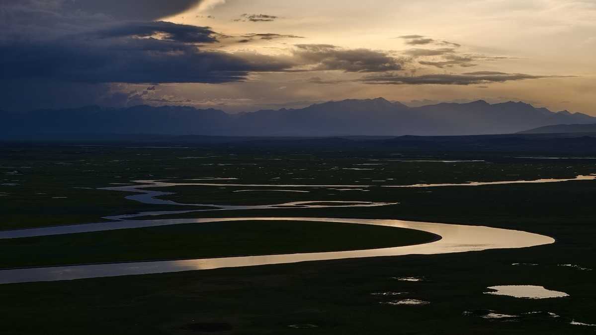
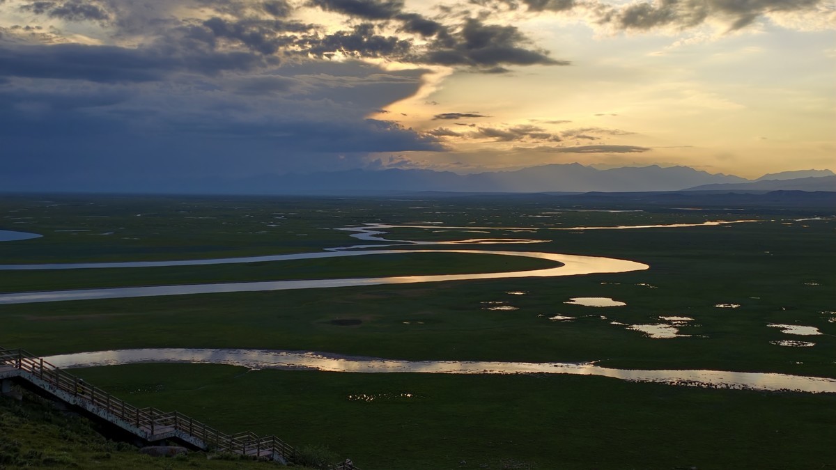
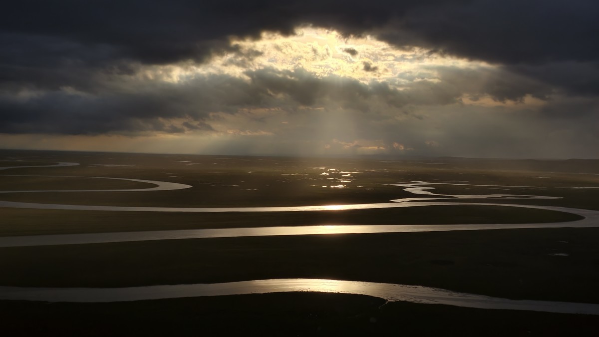
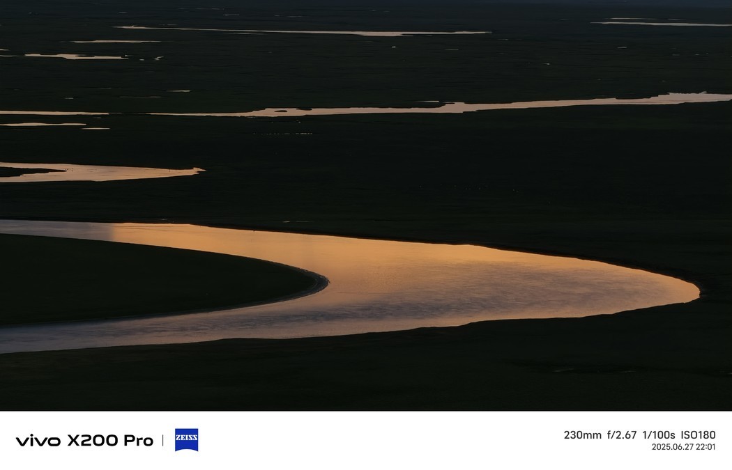
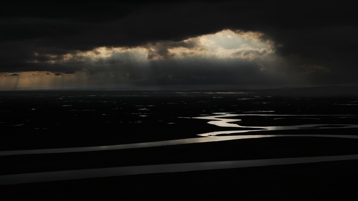
Bayingbulak Grassland, a tourist attraction located in Hejing County, Bayingolin Mongol Autonomous Prefecture, Xinjiang Uygur Autonomous Region, with a total area of about 1259.47 square kilometers. Bayingolen Mongol Autonomous Prefecture Bayingbrook Scenic Area is a natural landscape tourist area built with the alpine meadow grassland and alpine marsh wetland ecosystem in the large mountain basin at the top of the Tianshan Mountain as the background, and the meandering and marsh wetlands in the upper reaches of the Kaidu River as the main body. It is known as the "Green Pure Land" and is the location of the largest subalpine alpine meadow grassland in the country. There are 62 families, 254 genera, 704 species of wild vascular plants and 145 species of vertebrates in the scenic area. It is also the largest swan reserve in China. Bayinbrook Grassland Scenic Area features snow-capped mountains, canyons, basins, grasslands, meandering rivers, wetlands, and other ecological landscapes, as well as Mongolian customs, Donggui culture, grassland culture, and other cultural characteristics. The main attractions include Tuerhuate Folk Culture Village, Swan Lake, Jiuqu Eighteen Bends, Love of the Grassland, and Barun Kure.

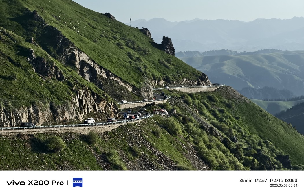
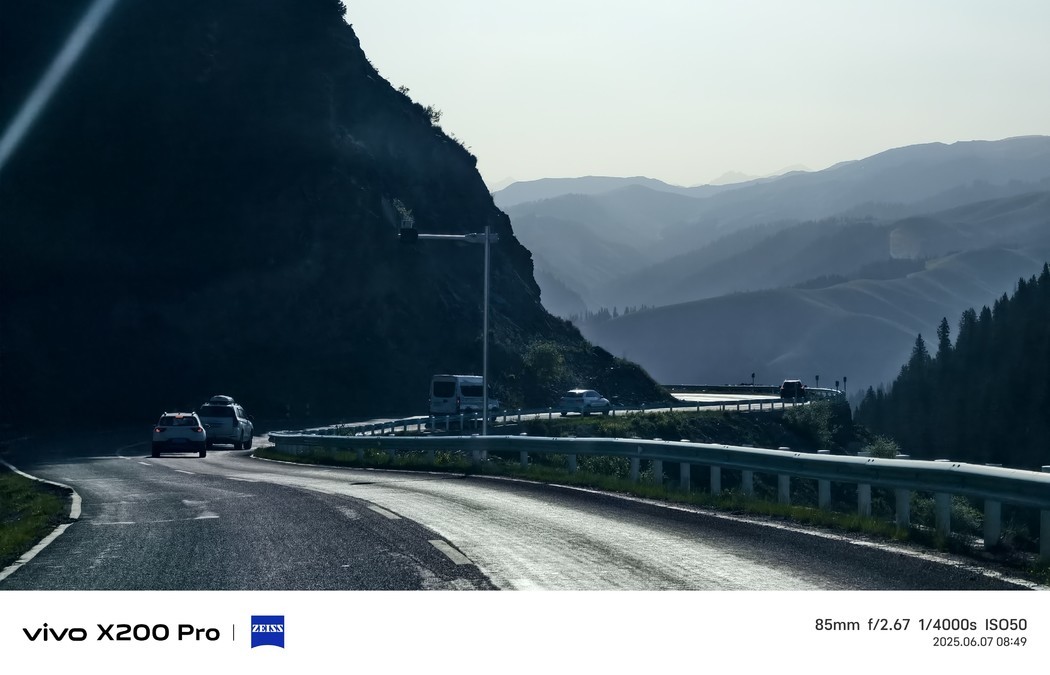
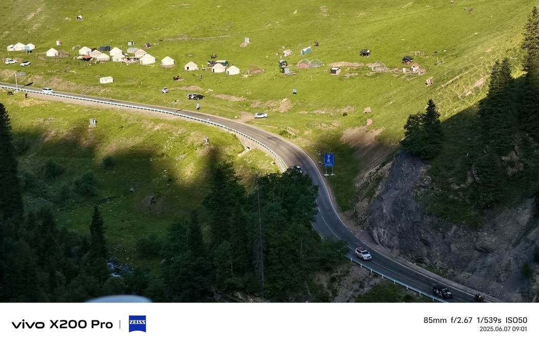
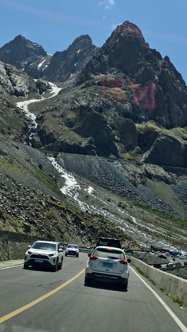
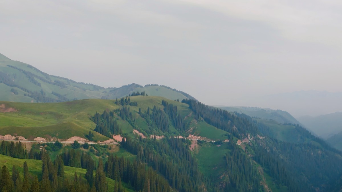
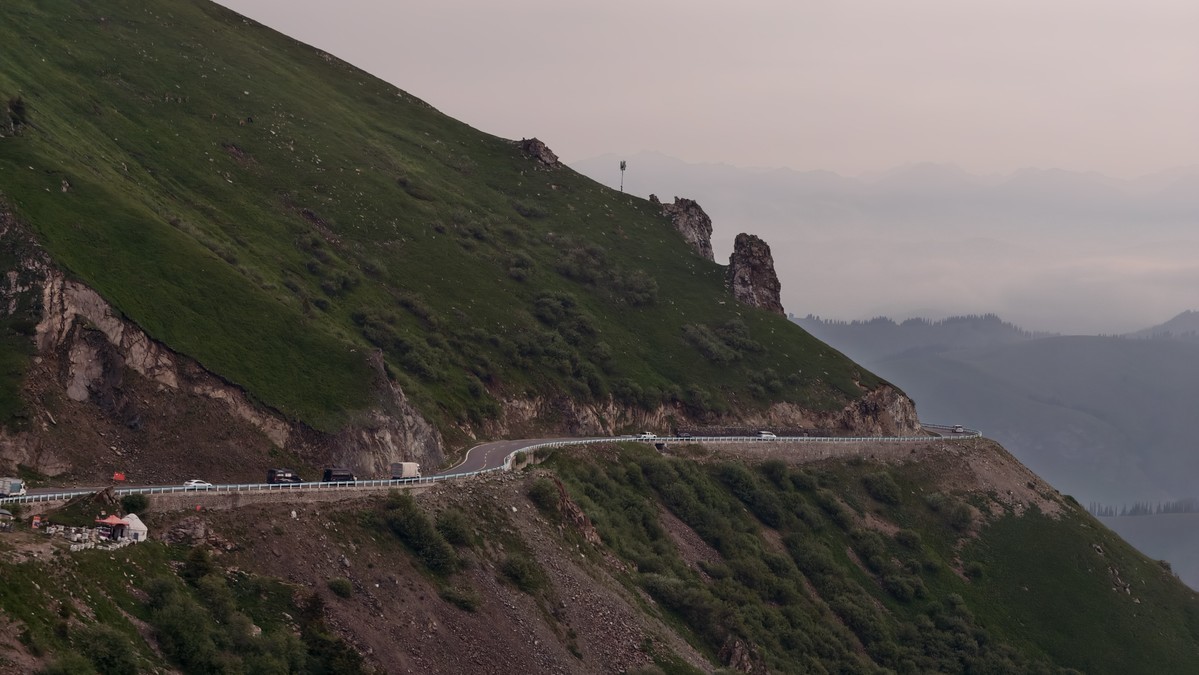
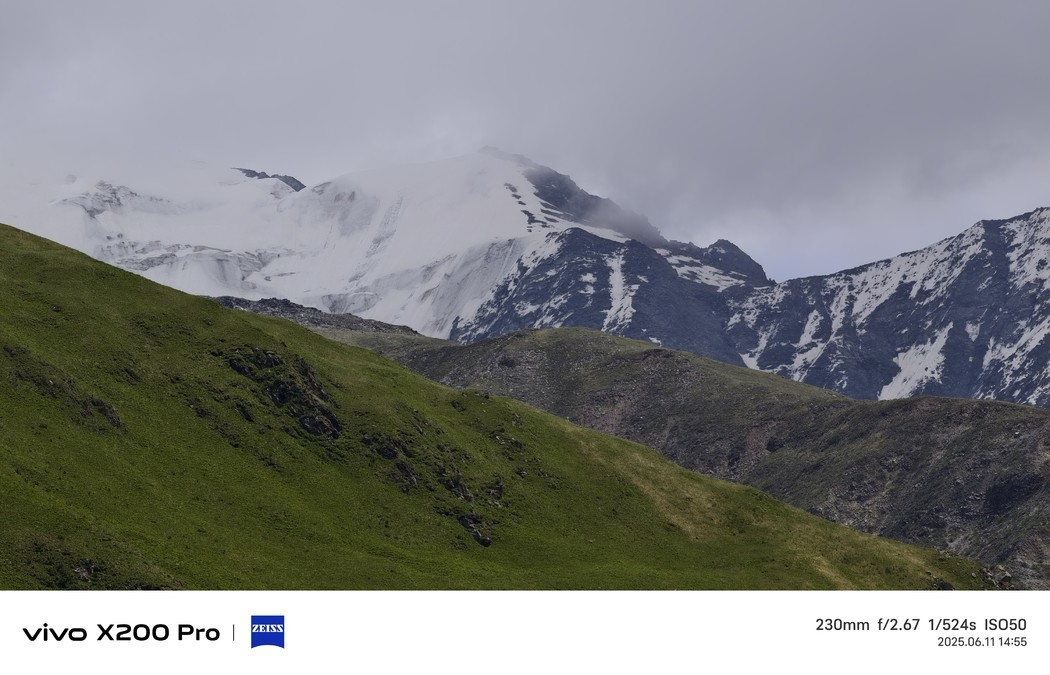
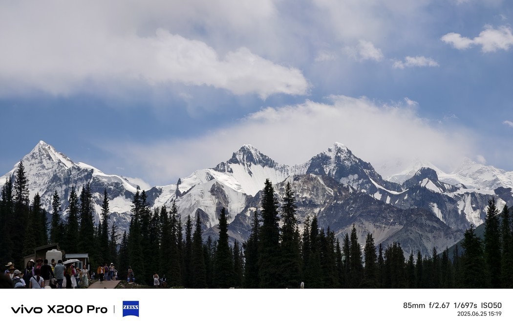
Duku Highway, that is, the Dushanzi-Kuqa section of National Highway 217, is the southern section of National Highway 217 connecting the north and south of Xinjiang. Because it crosses the Tianshan Mountains, it is also known as the Tianshan Highway.
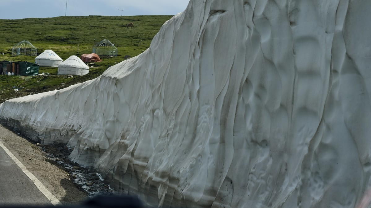
It starts from Dushanzi District, Karamay City, an oil city in northern Xinjiang, and ends in Kuqa City, Aksu Prefecture, southern Xinjiang, at the southern foot of the Tianshan Mountains and the northern edge of the Tarim Basin in the south. The total length is 561 kilometers. Half of the section is above 2,000 meters above sea level, and the highest point, Tielimaitidaban, is above 3,400 meters above sea level. The Duku Highway was built in 1974. In 1979, the Maolu Road was opened to traffic. In November of the same year, the Ministry of Communications decided to delay the construction of the No. 2 tunnel and open it to traffic with an open line. The open line is built according to the standard of the third-class From 2008 to 2012, the Duku Highway underwent a reconstruction project with a total investment of nearly 3 billion yuan. After the reconstruction, the Duku Highway was upgraded to a secondary highway. The Duku Highway is a veritable scenic road, starting from the Dushanzi Grand Canyon, to the Narati and Bayinbrook grasslands along the way, and then to the mysterious Grand Canyon of Kuqa Tianshan Mountain at the end. [5] Along the Duku Highway, you can cross Yilian Habirga Mountain, Borokonu Mountain, Awulal Mountain, Narati Mountain, Erbin Mountain, Hark Mountain, Yining and Kuqa Basin [7]. Due to the influence of natural factors such as winter snowfall and ice in the Tianshan Mountains, traffic control is generally implemented from the beginning of November to May and June of the following year, and the closure period is as long as 8 months. The one-day season of Duku Highway shows the magnificent wonders of "four seasons in one day and different days in ten miles" to the majority of off-road enthusiasts and self-driving tourists.